Two proposed laws would enhance road safety for bicyclists and pedestrians and improve the city’s multimodal infrastructure.


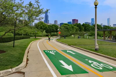
Two Chicago road safety ordinances passed the city’s Committee on Pedestrian and Traffic Safety last Friday, reports Alex V. Hernandez in Block Club Chicago.
If passed by the full council on March 15, “The Smart Streets Pilot Program ordinance would use cameras on city vehicles and other infrastructure to identify drivers parked illegally in bike lanes, bus lanes and loading zones, and mail them a ticket.”
The second ordinance, a Complete Streets initiative, would require Chicago DOT to include bike and pedestrian infrastructure in road improvement projects and standardize guidelines for bike, pedestrian, and transit infrastructure.
An article in Streetsblog Chicago by John Greenfield adds that “As with [the city’s] traffic cams, there will be a human review and judgment of each camera image, and tickets will be mailed to the registered vehicle owned in collaboration with the Chicago Department of Finance, with the fines based on the existing municipal code.” The city promises to install “clear signage” and provide a 30-day warning period before ticketing goes into effect, and CDOT has hired a new staff member “focused on community outreach who would collaborate with aldermen on education of the new law.”
Read the full story: Proposal To Use City Cameras To Ticket Bike Lane Blockers Set For City Council Vote

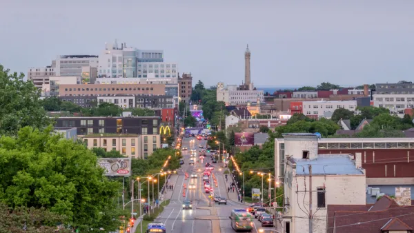
Milwaukee Launches Vision Zero Plan
Seven years after the city signed its Complete Streets Policy, the city is doubling down on its efforts to eliminate traffic deaths.
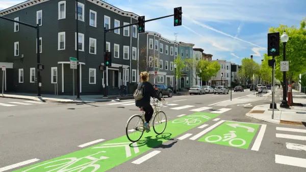
NACTO Releases Updated Urban Bikeway Guide
The third edition of the nationally recognized road design guide includes detailed design advice for roads that prioritize safety and accessibility for all users.
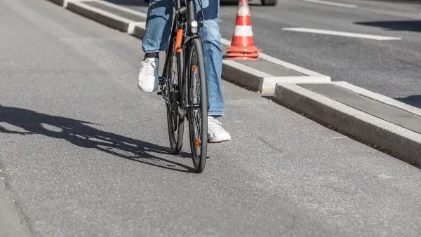
Southeast LA Road Safety Advocates Call for Improved Infrastructure
Streets in southeastern Los Angeles County have a severe lack of protected bike lanes and traffic safety measures, leading to high numbers of fatalities in a community where many residents depend on walking and biking for daily needs.

Planetizen Federal Action Tracker
A weekly monitor of how Trump’s orders and actions are impacting planners and planning in America.

California plans to bury El Niño’s downpour
If the state plays its cards right, it may be able to store a billion acre-feet of El Niño’s water in aquifers.

Desperate measures: Advocates weigh draining Lake Powell to fill Colorado River
Draining the reservoir could reduce evaporation losses by a couple hundred thousand acre-feet.

Metra may invest $9.1 billion in regional rail
The agency released a draft of a study examining potential ways to offer more frequent train service.

California city breaks ground on transit connector
The project includes three mobility hubs and a pedestrian bridge.

After public outcry, Massachusetts city releases housing development tracker
Cambridge’s tracker currently shows 250 housing projects in various stages of development.

FREE Course: Walkable City 1: Why Walkability?
After describing his path towards focusing on walkability as the essence of good planning, Jeff Speck marches through his five principal reasons for making more walkable places.
Reinventing Malls: Planning Alchemy—Turning Gray Fields Into Gold
The course focuses on the opportunities and imperatives that shape reinvention of mall sites.

City of Rosemead
Rutgers University, Edward J. Bloustein School of Planning and Public Policy
One Hundred Miles
Hunter College, City University of New York (CUNY)
The Architects Foundation
University of Cincinnati Online
City of Cambridge
Montrose County
The Pocatello Development Authority