The third edition of the nationally recognized road design guide includes detailed design advice for roads that prioritize safety and accessibility for all users.


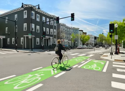
A newly revised guide from the National Association of City Transportation Officials (NACTO) outlines best practices and recommendations for street design that prioritizes bikeways. “Endorsed by the U.S. Department of Transportation and recognized in federal law, the Urban Bikeway Design Guide is used by hundreds of municipalities, state DOTs, and regional agencies across the U.S. and Canada to design streets that are safe and accessible for people biking.”
The guide outlines how cities can easily and affordably implement safety and mobility improvements. “The new edition includes detailed policy, planning, and project development guidance to ensure connected bikeable streets become standard practice. It also shows how to center equity and access in every step of planning and implementing a bike network–addressing inequities caused by the transportation system and building collaborative partnerships with historically marginalized groups of residents.”
The newest edition acknowledges new types of mobility such as e-bikes and scooters and includes more detailed design practices that improve safety for all road users. The guide also offers advice in network planning, community engagement, and maintenance needs.
Read the full story: NACTO Launches New Urban Bikeway Design Guide for the Next Generation of Innovative Cycling Infrastructure


Why a Complete Streets Makeover Went Awry in Philadelphia
The city pulled the plug on a proposed street redesign after community groups criticized the public engagement process for not listening to all local voices.
Southeast LA Road Safety Advocates Call for Improved Infrastructure
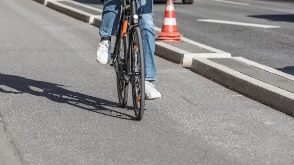
Streets in southeastern Los Angeles County have a severe lack of protected bike lanes and traffic safety measures, leading to high numbers of fatalities in a community where many residents depend on walking and biking for daily needs.
Philly Road Safety Advocates Call for Action From the City
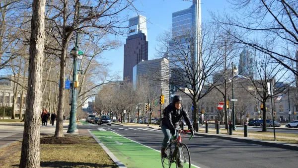
Mayor Parker’s administration is proposing massive cuts to the city’s Vision Zero program while pedestrian and cyclist deaths remain high.

Planetizen Federal Action Tracker
A weekly monitor of how Trump’s orders and actions are impacting planners and planning in America.

California plans to bury El Niño’s downpour
If the state plays its cards right, it may be able to store a billion acre-feet of El Niño’s water in aquifers.

Chicago breaks ground on $3 billion megadevelopment
The new neighborhood, titled Foundry Park, will one day host 3,700 residences.

California High-Speed Rail Authority CEO resigns after $600,000 scandal
Under Ian Choudri, the authority used taxpayer dollars to fund first class flights and trips to nightclubs.

Want to study the Missouri River? Soon, you may need unanimous approval from 10 states
Legislation would require 10 governors’ permission to study or build projects moving water outside the basin.

Desperate measures: Advocates weigh draining Lake Powell to fill Colorado River
Draining the reservoir could reduce evaporation losses by a couple hundred thousand acre-feet.

FREE Course: Walkable City 1: Why Walkability?
After describing his path towards focusing on walkability as the essence of good planning, Jeff Speck marches through his five principal reasons for making more walkable places.
Reinventing Malls: Planning Alchemy—Turning Gray Fields Into Gold
The course focuses on the opportunities and imperatives that shape reinvention of mall sites.

City of Rosemead
Rutgers University, Edward J. Bloustein School of Planning and Public Policy
One Hundred Miles
Hunter College, City University of New York (CUNY)
The Architects Foundation
University of Cincinnati Online
City of Cambridge
Montrose County
The Pocatello Development Authority