


New research documents the distance between bus stops in U.S. cities—a key question for service designers that determines a lot about the public transit user experience.
The journal Findings (née Transport Findings) this week published research by Ayush Pandey, Lewis Lehe, and Dana Monzer that quantifies bus stop spacing in U.S. cities.
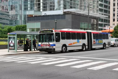
The research, available online, features a database of bus stop spacings for 43 U.S. cities, weighting each spacing by the number of times a bus traverses the distance. Of the cities evaluated in the study, Las Vegas' Regional Transportation Commission (RTC) has the widest mean spacing (482 m) and Philadelphia's Southeastern Pennsylvania Transportation Authority (SEPTA) the narrowest (214 m).
According to the article's abstract, the research also compares spacings between the urban cores and more suburban locations within agencies' service areas.
FULL STORY: Distributions of Bus Stop Spacings in the United States

The Bus Revolution Has Been Revised in Philadelphia
The Southeastern Pennsylvania Transportation Authority went back to the drawing board with its Bus Revolution system redesign after an initial round of feedback completed earlier this year.
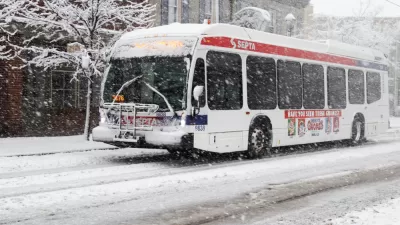
‘Bus Revolution’ Revised in Philadelphia
The bus system redesign underway in Philadelphia changed direction after riders and local politicians complained about an initial draft plan.
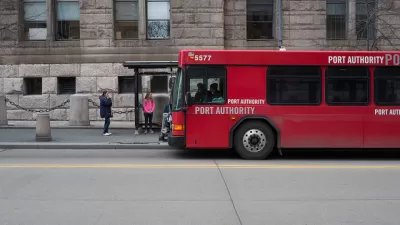
Bus Stop Consolidation Improving On-Time Performance in Pittsburgh
Pittsburgh-area buses operating on routes with a recently reduced number of stops are more likely to arrive on time than before the changes.

Planetizen Federal Action Tracker
A weekly monitor of how Trump’s orders and actions are impacting planners and planning in America.

Map: Where Senate Republicans Want to Sell Your Public Lands
For public land advocates, the Senate Republicans’ proposal to sell millions of acres of public land in the West is “the biggest fight of their careers.”

Restaurant Patios Were a Pandemic Win — Why Were They so Hard to Keep?
Social distancing requirements and changes in travel patterns prompted cities to pilot new uses for street and sidewalk space. Then it got complicated.

Platform Pilsner: Vancouver Transit Agency Releases... a Beer?
TransLink will receive a portion of every sale of the four-pack.

Toronto Weighs Cheaper Transit, Parking Hikes for Major Events
Special event rates would take effect during large festivals, sports games and concerts to ‘discourage driving, manage congestion and free up space for transit.”

Berlin to Consider Car-Free Zone Larger Than Manhattan
The area bound by the 22-mile Ringbahn would still allow 12 uses of a private automobile per year per person, and several other exemptions.
Urban Design for Planners 1: Software Tools
This six-course series explores essential urban design concepts using open source software and equips planners with the tools they need to participate fully in the urban design process.
Planning for Universal Design
Learn the tools for implementing Universal Design in planning regulations.
Heyer Gruel & Associates PA
JM Goldson LLC
Custer County Colorado
City of Camden Redevelopment Agency
City of Astoria
Transportation Research & Education Center (TREC) at Portland State University
Camden Redevelopment Agency
City of Claremont
Municipality of Princeton (NJ)