Bike advocates say a protected bike lane near the downtown Caltrain station can't wait. The San Francisco Municipal Transportation Agency (SFMTA) says the project will have to wait.


Supporters of a proposal to build a protected bikeway near the downtown Caltrain station in San Francisco are angry that the SFMTA has delayed those plans, reports Rachel Swan.
Road hazards and 44 collisions involving people on bikes between 2012 and 2016 led San Francisco officials "to designate the Townsend Street corridor between Fourth and Eighth streets a high-injury area for cyclists" and "[release] plans for a protected bikeway along the Townsend Street corridor." The plan for the protected bike lanes, released in April by the SFMTA, "would include a curb or barrier to separate bikes from traffic between Fifth and Eighth streets, and a strip of sidewalk in front of the Caltrain station."
But, reports Swan, "this month, the agency put the project on ice. Officials said they wanted to wait and incorporate the bikeways into the long-planned extension of Caltrain to the downtown Transbay Terminal, which won’t break ground for at least five years."
According to Swan, the plan met resistance from "merchants, community groups, the firefighters’ union and even the SFMTA itself." But bike advocates "aren't buying any of it," saying lives are at stake.
Read the full story: Bicyclists protest as city plans for safer lanes hit bumps

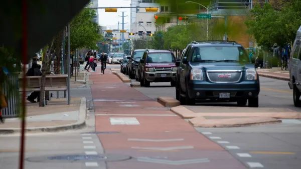
Austin Outlaws Blocking Bike Lanes
Drivers who park in bike lanes will receive citations of up to $300.
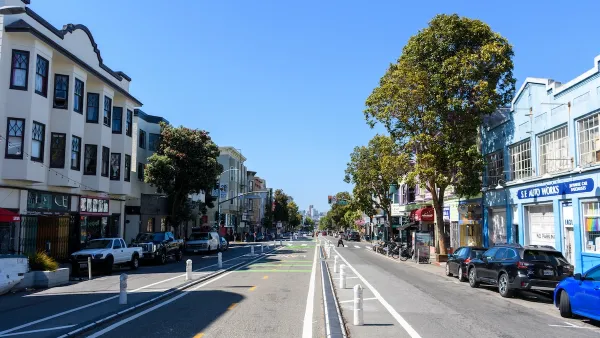
How San Francisco’s ‘People Protected Bike Lanes’ are Moving the Needle on Road Safety
A local bike safety protest has become a global phenomenon.
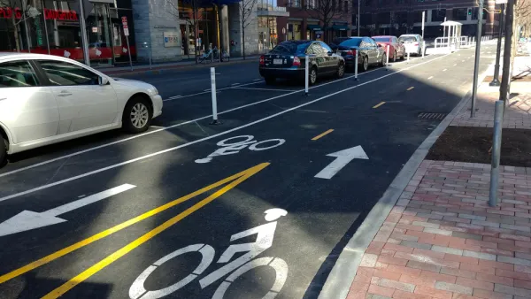
Nation's Top Safety Board Recommends Protected Bike Lanes
The NTSB chair issued a stark warning on Nov. 5: "If we do not improve roadway infrastructure for bicyclists, bicyclists will die who otherwise would not," stated Robert Sumwalt in introducing their first report in 47 years devoted to bike safety.

Planetizen Federal Action Tracker
A weekly monitor of how Trump’s orders and actions are impacting planners and planning in America.

California plans to bury El Niño’s downpour
If the state plays its cards right, it may be able to store a billion acre-feet of El Niño’s water in aquifers.

Chicago breaks ground on $3 billion megadevelopment
The new neighborhood, titled Foundry Park, will one day host 3,700 residences.

Satanic place names
From streams and lakes to valleys and canyons, I mapped more than 1,000 places named after the Devil.

California High-Speed Rail Authority CEO resigns after $600,000 scandal
Under Ian Choudri, the authority used taxpayer dollars to fund first class flights and trips to nightclubs.

Want to study the Missouri River? Soon, you may need unanimous approval from 10 states
Legislation would require 10 governors’ permission to study or build projects moving water outside the basin.

FREE Course: Walkable City 1: Why Walkability?
After describing his path towards focusing on walkability as the essence of good planning, Jeff Speck marches through his five principal reasons for making more walkable places.
Reinventing Malls: Planning Alchemy—Turning Gray Fields Into Gold
The course focuses on the opportunities and imperatives that shape reinvention of mall sites.

City of Rosemead
Rutgers University, Edward J. Bloustein School of Planning and Public Policy
One Hundred Miles
Hunter College, City University of New York (CUNY)
The Architects Foundation
University of Cincinnati Online
City of Cambridge
Montrose County
The Pocatello Development Authority