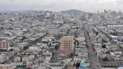
The Bay Area is finalizing its plan to comply with state legislation to reduce vehicle emissions from transportation. "Plan Bay Area" has aroused fears of regional government and more, which were expressed at a recent public meeting.
Bill Silverfarb writes on how the plan - written by the Bay Area's two regional planning agencies, the Metropolitan Transportation Commission and the Association of Bay Area Governments to meet state legislation (SB 375: The Sustainable Communities and Climate Protection Act of 2008) was received by some of the 200 attendees at the meeting in Foster City, including Foster City Councilman Art Kiesel.
“They are pushing mixed-use developments at public transit centers. That’s OK. But it is nothing new. It’s New York City revisited,” Kiesel said. “They are trying to push a global plan but then say ‘it’s up to you locals.’ What if I don’t want this?”
Fortunately, Silverfarb also interviewed Egon Terplan, Regional Planning Director of SPUR (San Francisco Planning + Urban Research Association), who analyzed the plan with Ethan Lavine.
Those who oppose the plan do so because of a “fundamental misunderstanding,” he said.
“Land use lies with local governments. The plan gives no power to enforce where housing is built,” Terplan said.
Terplan and Lavine's analysis appear in the SPUR blog on April 29: "What You Need to Know About Plan Bay Area".
Plan Bay Area formally combines two existing regional planning processes, the Regional Transportation Plan (RTP) and the Regional Housing Needs Allocation. The goal is to better link regional transportation planning and funding with a projection for future land use.
The housing allocation process has long been resented by many city councils - and the residents they represent on the affluent San Francisco Peninsula (San Mateo County and northern Santa Clara County). Heretofore, the RTP had been more of a contest of what transportation projects to fund - but it took on more of a land-use focus with SB 375. With land use, housing, and regional planning agencies, Plan Bay Area was sure to be controversial with many at the hearing.
FULL STORY: What is Plan Bay Area?: Region adopting strategy for future growth

Planetizen Federal Action Tracker
A weekly monitor of how Trump’s orders and actions are impacting planners and planning in America.

Map: Where Senate Republicans Want to Sell Your Public Lands
For public land advocates, the Senate Republicans’ proposal to sell millions of acres of public land in the West is “the biggest fight of their careers.”

Restaurant Patios Were a Pandemic Win — Why Were They so Hard to Keep?
Social distancing requirements and changes in travel patterns prompted cities to pilot new uses for street and sidewalk space. Then it got complicated.

Platform Pilsner: Vancouver Transit Agency Releases... a Beer?
TransLink will receive a portion of every sale of the four-pack.

Toronto Weighs Cheaper Transit, Parking Hikes for Major Events
Special event rates would take effect during large festivals, sports games and concerts to ‘discourage driving, manage congestion and free up space for transit.”

Berlin to Consider Car-Free Zone Larger Than Manhattan
The area bound by the 22-mile Ringbahn would still allow 12 uses of a private automobile per year per person, and several other exemptions.
Urban Design for Planners 1: Software Tools
This six-course series explores essential urban design concepts using open source software and equips planners with the tools they need to participate fully in the urban design process.
Planning for Universal Design
Learn the tools for implementing Universal Design in planning regulations.
Heyer Gruel & Associates PA
JM Goldson LLC
Custer County Colorado
City of Camden Redevelopment Agency
City of Astoria
Transportation Research & Education Center (TREC) at Portland State University
Camden Redevelopment Agency
City of Claremont
Municipality of Princeton (NJ)


