


State and local officials are zeroing in on some of the region’s most dangerous streets and transit corridors.
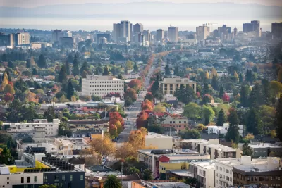
Safety improvements are coming to a major street in Oakland, California, reports Kristin J. Bender in The Mercury News, after 18 or more pedestrians were killed on International Boulevard in the last two years. “Improvements are being funded by a $400,000 grant from the Metropolitan Transportation Commission and $1.8 million from the city of Oakland, officials said.”
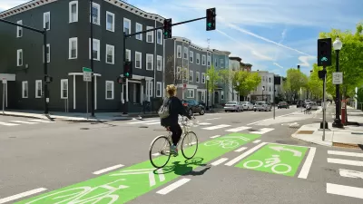
The project joins other efforts to make Bay Area streets safer and more connected for pedestrians, transit users, and cyclists. In San Mateo County, the local transportation authority plans to improve sidewalk crossings and bike and pedestrian routes that connect to Caltrain, BART, and other public transit. “That could include building pathways over or under the elevated Caltrain tracks and adjacent Highway 101 corridor to better connect the downtown area to the city’s job center and biotech hub in its former industrial core to the east.”
Bender notes that “last week, the Regional Network Management Council, a coalition of Bay Area transit agencies, earmarked more than $18 million for eight projects under the Bus Accelerated Infrastructure Delivery program, commonly known as ‘BusAID.’” The program is designed to improve bus speed and reliability and make key transit corridors safer for all users.
FULL STORY: Deadly Bay Area streets spark officials to make traffic safety improvements


Jacksonville Takes Action on Vision Zero
The city is implementing its first-ever Vision Zero Action Plan in an effort to reduce pedestrian and cyclist deaths and serious injuries.

‘Complete Streets’ Webpage Deleted in Federal Purge
Basic resources and information on building bike lanes and sidewalks, formerly housed on the government’s Complete Streets website, are now gone.
NACTO Releases Updated Urban Bikeway Guide
The third edition of the nationally recognized road design guide includes detailed design advice for roads that prioritize safety and accessibility for all users.

Planetizen Federal Action Tracker
A weekly monitor of how Trump’s orders and actions are impacting planners and planning in America.

DARTSpace Platform Streamlines Dallas TOD Application Process
The Dallas transit agency hopes a shorter permitting timeline will boost transit-oriented development around rail stations.

Four Reasons Urban Planners Can’t Ignore AI
It’s no longer a question of whether AI will shape planning, but how. That how is up to us.

Texas State Bills to Defund Dallas Transit Die
DART would have seen a 30% service cut, $230M annual losses had the bills survived.

Bikeshare for the Win: Team Pedals to London Cricket Match, Beats Rivals Stuck in Traffic
While their opponents sat in gridlock, England's national cricket team hopped Lime bikes, riding to a 3-0 victory.

Amtrak’s Borealis Exceeds First Year Ridership Expectations
205,800 passengers have boarded the St. Paul to Chicago line, well above initial MDOT projections.
Urban Design for Planners 1: Software Tools
This six-course series explores essential urban design concepts using open source software and equips planners with the tools they need to participate fully in the urban design process.
Planning for Universal Design
Learn the tools for implementing Universal Design in planning regulations.
City of Mt Shasta
City of Camden Redevelopment Agency
City of Astoria
Transportation Research & Education Center (TREC) at Portland State University
US High Speed Rail Association
City of Camden Redevelopment Agency
Municipality of Princeton (NJ)