


New research indicates that improving public health requires targeted investments in more than just pedestrian facilities.
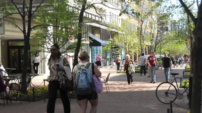
Nikita Amir reports on a recent study of public health outcomes from the MAP Center for Urban Health Solutions at St. Michael's Hospital in Toronto which reveals that "walkability isn’t just restricted to elements of infrastructure—it’s also mediated by racial injustice, food supply, and pollution."
The study's authors evaluated existing research linking physical activity and disease "to understand how a resident’s ability to walk around their neighborhoods is linked to the likelihood of obesity and diabetes," writes Amir. Gillian Booth, a scientist at the MAP Center for Urban Health Solutions at St. Michael’s Hospital in Toronto, Canada, and her co-author Nicholas Howell created a "walkability index" that combined a variety of factors that affect whether residents of an area can safely walk around their neighborhood and access businesses and transit.
The researchers found that public health metrics varied across neighborhoods, and that pedestrian infrastructure (such as sidewalks) alone don't indicate a healthier neighborhood.
"For example, Booth and her co-author learned that in places with higher air pollution or traffic congestion, it wasn’t as beneficial to be able to stroll around as in cleaner, quieter neighborhoods. In the more polluted areas, residents had a higher risk of illnesses such as heart disease or dementia. In essence, any gains made by being able to walk around the neighborhood were washed away by the increased concentration of fuel emissions in the air."
Additionally, "Factors like food apartheids with a lack of healthy eating options or access to green spaces can also be traced to systemic social and racial inequities. Many low-income communities live in places that have been intentionally designed without walkability or abundant resources like parks and grocery stores in mind." The study's authors acknowledge the limitations of their research, which often didn't include socioeconomic factors.
The study could play a role in figuring out how cities can design healthy, sustainable infrastructure that addresses public health from all angles including walkability, air quality, stormwater management, open space, and transportation.
FULL STORY: Walkability won't solve neighborhood health inequities

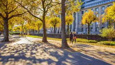
How Urban Design Impacts Public Health
With more and more people living in cities, designing equitably healthy urban spaces becomes a key question for policymakers.
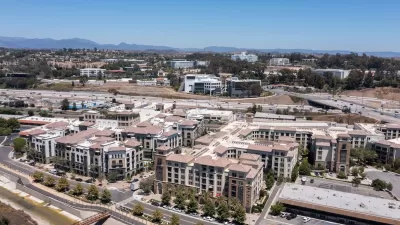
Balancing TOD and Public Health
Building housing near transportation networks can improve density and walkability, but can also have serious health consequences for residents.
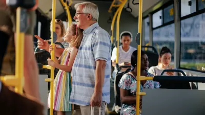
Opinion: To Improve Health Outcomes, Invest in Public Transit
A medical student calls for improving public transit to boost the health of people and the environment.

Planetizen Federal Action Tracker
A weekly monitor of how Trump’s orders and actions are impacting planners and planning in America.

Restaurant Patios Were a Pandemic Win — Why Were They so Hard to Keep?
Social distancing requirements and changes in travel patterns prompted cities to pilot new uses for street and sidewalk space. Then it got complicated.

Map: Where Senate Republicans Want to Sell Your Public Lands
For public land advocates, the Senate Republicans’ proposal to sell millions of acres of public land in the West is “the biggest fight of their careers.”

Orange County, Florida Adopts Largest US “Sprawl Repair” Code
The ‘Orange Code’ seeks to rectify decades of sprawl-inducing, car-oriented development.

Maui's Vacation Rental Debate Turns Ugly
Verbal attacks, misinformation campaigns and fistfights plague a high-stakes debate to convert thousands of vacation rentals into long-term housing.

San Francisco Suspends Traffic Calming Amidst Record Deaths
Citing “a challenging fiscal landscape,” the city will cease the program on the heels of 42 traffic deaths, including 24 pedestrians.
Urban Design for Planners 1: Software Tools
This six-course series explores essential urban design concepts using open source software and equips planners with the tools they need to participate fully in the urban design process.
Planning for Universal Design
Learn the tools for implementing Universal Design in planning regulations.
Heyer Gruel & Associates PA
JM Goldson LLC
Custer County Colorado
City of Camden Redevelopment Agency
City of Astoria
Transportation Research & Education Center (TREC) at Portland State University
Camden Redevelopment Agency
City of Claremont
Municipality of Princeton (NJ)