The Los Angeles Times follows-up an earlier article on the dangers of building too close to freeways. It's a trade-off that the California Air Resources Board acknowledged last April with new guidelines that recognize the dire need for housing.


The post is based on a report by Tony Barboza and David Zahniser of the Los Angeles Times who wrote a follow-up on Dec. 27 that explains why the Air Resources Board (ARB) is willing to accept projects selected by the Strategic Growth Council even when the siting goes against their own recommendations.
And it's not just subsidized affordable housing developments being built too close to freeways.
Los Angeles "issued building permits for 4,300 homes near freeways in 2015 — more than in any year over the last decade — and signed off on an additional 3,000 units last year," reported Barboza and Jon Schleuss for the Times on March 2, 2017.
Last April, the board "issued a new advisory [pdf] that emphasizes design rather than distance, recommending anti-pollution features such as air filters, sound walls and thick vegetation as 'promising strategies' to reduce the health risks from freeways," write Barboza and Zahniser. Recommendations also include architectural and transportation mitigations, including street design and pedestrian and bicycle infrastructure:
Among the suggestions in the report: Lower speed limits to 55 mph or less and install roundabouts to reduce vehicle emissions. Design city streets with parks, bike lanes, wider sidewalks and buildings with “varying shapes and heights” to disperse traffic pollutants.
Those projects are challenging in cities like Los Angeles, “where freeways and major thoroughfares abound,” air board spokesman Stanley Young said. “In responding to that reality we felt it was important to give planners and developers information on how to mitigate the impacts,” he added.
However, ARB hasn't abandoned their 2005 handbook either. "That’s a very basic health position that the agency has taken and we still stand by,” said Kurt Karperos, a deputy executive officer for the air board,
Yet it's clear that ARB has become more flexible, evidenced in January 2016 when "air board chair Mary Nichols acknowledged that the push for dense urban development, which can reduce driving and overall emissions, also can 'result in increased exposures for people who live or go to school and spend any time outdoors in areas near roadways,'” add Barboza and Zahniser.
Housing activists and business leaders have cheered the new design advisory while public health and environmentalists bemoan them.
Alan Greenlee, executive director of the Southern California Assn. of Non-Profit Housing, said he is happy the state “seems to have moved in the direction of allowing building where previously they weren’t interested.” With filters and other anti-pollution measures, developers “can house people affordably and healthfully in areas where the government says there are air quality issues.”
Bill Magavern, policy director for the Coalition for Clean Air, has a far different perspective.
"New housing should be well planned so that it’s not putting residents’ health at risk,” he said. “The goal is to have the homes near transit, not near freeways.”
However, in a third piece, Barboza reports on Dec. 30 that exposure to harmful motor vehicle emissions is not just a matter of proximity to heavily traveled roads.
In the late night and early morning, it turns out, traffic pollution drifts much farther than during the day, and can extend more than a mile downwind from the freeway.
It’s not only your distance from traffic, but other details such as wind patterns, freeway design, the time of day and the types of cars, trucks and buildings around you that determine the risk.
This piece has lots of interesting information on how to mitigate exposure to traffic air pollution and what factors to look for that influence exposure.
Read the full story: Regulators warned against housing near freeways due to health risks. Now they're warming to it

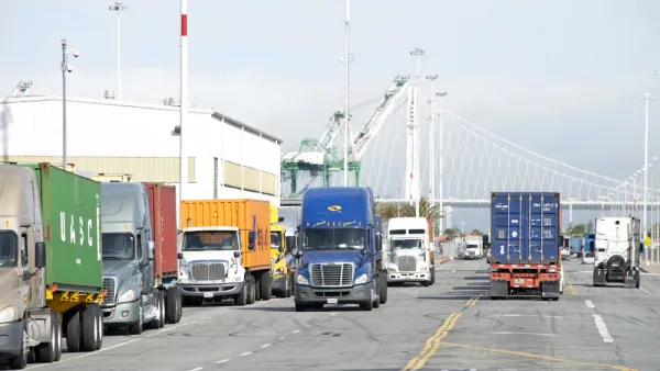
Two New California Laws Take Aim at Pollution from Heavy-Duty Trucks
Trucks, which disproportionately contribute toward air pollution, will soon be subject to similar types of smog checks that apply to light-duty vehicles. A second bill signed by Gov. Gavin Newsom will spur movement toward cleaner alternatives.
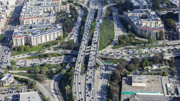
California Funds Housing Near Freeways Despite Air Pollution
A Los Angeles development for homeless vets could be great news for a city in desperate need of housing, but some worry that the apartments put vets in harm’s way.
Air Quality and Environmental Justice Lead to Push for Zero-Emission Locomotives
The California Air Resources Board has petitioned the U.S. EPA to adopt more stringent emissions standards for locomotives in order to improve air quality at rail yards, many of which are located adjacent to disadvantaged communities.

Planetizen Federal Action Tracker
A weekly monitor of how Trump’s orders and actions are impacting planners and planning in America.

Amtrak, CN end decades-long dispute with eight-year agreement
The new operating agreement establishes an updated framework for the companies to work together, including processes to resolve disputes.
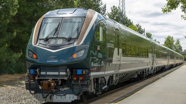
Northwest rail fans eager for Sept. 30 debut of Amtrak’s Airo fleet
Get ready for that new train smell and more seats. But they won’t go faster or run more frequently on the Cascades route in Washington and Oregon.

Brightline Florida files for bankruptcy
The transit company is over $5 billion in debt.

St. Louis Metro to test if single-car trains can reduce operating costs, maintain rider satisfaction
The pilot program will run from October to spring 2027, and begin with one single-car train operating on Metrolink’s Red and Blue lines.

Pennsylvania is building data centers in abandoned mines
Housing data centers in mines provides an alternative to destroying local forests and may spare residents from data centers’ noise and air pollution.

FREE Course: Walkable City 1: Why Walkability?
After describing his path towards focusing on walkability as the essence of good planning, Jeff Speck marches through his five principal reasons for making more walkable places.
Reinventing Malls: Planning Alchemy—Turning Gray Fields Into Gold
The course focuses on the opportunities and imperatives that shape reinvention of mall sites.

City of Thousand Oaks
City of Wisconsin Rapids
Harvard University Graduate School of Design
The Architects Foundation
University of Cincinnati Online
The Pocatello Development Authority
The Urban Renewal Agency of the City of Pocatello