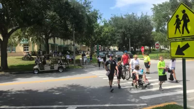
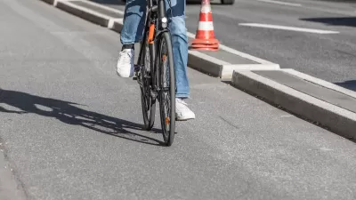
When people feel unsafe, they walk less; with fewer pedestrians, walking becomes less safe.

Responding to a recent New York Times story highlighting the high rate of nighttime pedestrian deaths in the United States, Streetsblog’s Kea Wilson notes that the article, which identified some key factors in the road death crisis, missed one other point: “the dwindling number of walkers on our roads may itself be contributing to the nation’s fatality rates — and how much worse the death tolls look when seen in the context of how little Americans walk.”
While walking rates dropped by 36 percent between 2019 and 2022, pedestrian deaths increased by 20 percent. “And because walkers are generally safer in numbers, thinning that herd can have deadly consequences for anyone who remains.” As Wilson points out, the U.S. has a much higher per-mile pedestrian death rate than countries like the U.K. or the Netherlands.
Traffic engineer David Levinson calls this phenomenon as the “cycle of unwalkability,” wherein “the presence of cars worsens the conditions of pedestrians; worse conditions for pedestrians reduces walking; reduced walking increases the use of cars; repeat.”
“We don’t just need to install streetlights, redesign roads and cars, disable cell phones when their owners are behind the wheel, and give the poor the mobility and housing options they need to keep them out of harm’s way.” For Wilson, it will also take the rebuilding of “a culture of walking.”
FULL STORY: The Other Reason American Pedestrian Deaths are Rising After Dark

Planetizen Federal Action Tracker
A weekly monitor of how Trump’s orders and actions are impacting planners and planning in America.

Maui's Vacation Rental Debate Turns Ugly
Verbal attacks, misinformation campaigns and fistfights plague a high-stakes debate to convert thousands of vacation rentals into long-term housing.

Restaurant Patios Were a Pandemic Win — Why Were They so Hard to Keep?
Social distancing requirements and changes in travel patterns prompted cities to pilot new uses for street and sidewalk space. Then it got complicated.

In California Battle of Housing vs. Environment, Housing Just Won
A new state law significantly limits the power of CEQA, an environmental review law that served as a powerful tool for blocking new development.

Boulder Eliminates Parking Minimums Citywide
Officials estimate the cost of building a single underground parking space at up to $100,000.

Orange County, Florida Adopts Largest US “Sprawl Repair” Code
The ‘Orange Code’ seeks to rectify decades of sprawl-inducing, car-oriented development.
Urban Design for Planners 1: Software Tools
This six-course series explores essential urban design concepts using open source software and equips planners with the tools they need to participate fully in the urban design process.
Planning for Universal Design
Learn the tools for implementing Universal Design in planning regulations.
Heyer Gruel & Associates PA
JM Goldson LLC
Custer County Colorado
City of Camden Redevelopment Agency
City of Astoria
Transportation Research & Education Center (TREC) at Portland State University
Jefferson Parish Government
Camden Redevelopment Agency
City of Claremont


