The consequences of historic redlining continue to have consequences in the present day United States. Add another example to the list.


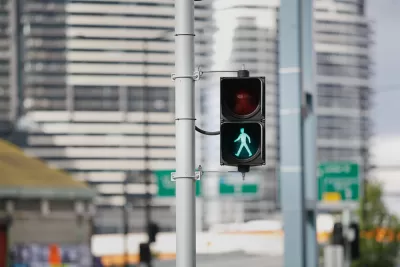
A study recently published by the American Journal of Public Health connects the discriminatory real estate practices of U.S. history to the poor pedestrian safety outcomes of contemporary life. “Historical redlining policy, initiated in the 1930s, has an impact on present-day transportation inequities in the United States,” reads the conclusion shared in the study’s abstract.
Kea Wilson picked up news of the study for Streetsblog USA, boosting the signal on the troubling findings of the report, several months after the study’s November publication. “[R]esearchers found that census tracts once marked as ‘hazardous’ or ‘grade D’ by the Home Owners’ Loan Corporation experienced a pedestrian death rate of 2.6 per 100,000 people between 2010 and 2019, compared to a rate of just 1.1 during the same period for tracts marked grade ‘A’ or ‘best,” according to Wilson’s summary of the study’s findings.
“The researchers stress that this simple and deeply racist policy helped ‘cement the racial wealth gap, that endures to this day, and remains associated with a cascade of unjust and deadly intergenerational impacts that have endured as well,” explains Wilson. Add pedestrian safety to the list that includes other contemporary public health risks, such as Covid spread, Covid fatalities, food insecurity, oil and gas facilities, air pollution, extreme heat, and housing inequality.
Read the full story: Study: Pedestrian Death Rate More Than 2x Higher in Historically Red-Lined Neighborhoods


What Can Lessons From Traffic Safety Teach About the Covid Response?
Finger waggings aren't effective for pedestrian safety—so why should they work for public health? A "safe system" approach, created for traffic safety in Sweden, offers a model for improved pandemic public health outcomes, according to this opinion.

U.S. DOT Releases First-Ever Pedestrian Safety Plan
Record numbers of pedestrians have been killed by drivers in recent years. The federal government says a "team effort" will be necessary to stop the carnage.
State Legislation Responds to Pedestrian Safety Failures in Connecticut
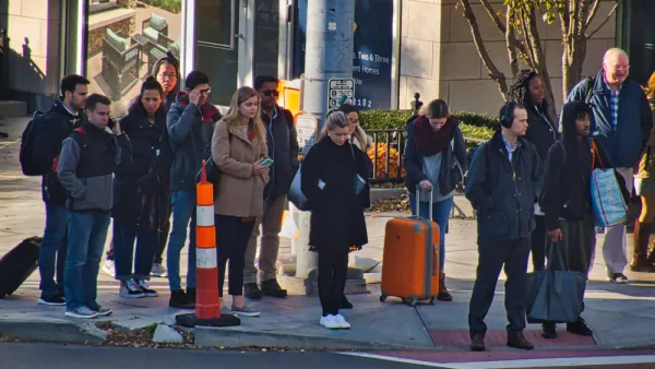
So far in 2020, drivers have killed 15 pedestrians on Connecticut roads.

Planetizen Federal Action Tracker
A weekly monitor of how Trump’s orders and actions are impacting planners and planning in America.

California plans to bury El Niño’s downpour
If the state plays its cards right, it may be able to store a billion acre-feet of El Niño’s water in aquifers.

Chicago breaks ground on $3 billion megadevelopment
The new neighborhood, titled Foundry Park, will one day host 3,700 residences.

Satanic Place Names
From streams and lakes to valleys and canyons, I mapped more than 1,000 places named after the Devil.

California High-Speed Rail Authority CEO resigns after $600,000 scandal
Under Ian Choudri, the authority used taxpayer dollars to fund first class flights and trips to nightclubs.

Want to study the Missouri River? Soon, you may need unanimous approval from 10 states
Legislation would require 10 governors’ permission to study or build projects moving water outside the basin.

FREE Course: Walkable City 1: Why Walkability?
After describing his path towards focusing on walkability as the essence of good planning, Jeff Speck marches through his five principal reasons for making more walkable places.
Reinventing Malls: Planning Alchemy—Turning Gray Fields Into Gold
The course focuses on the opportunities and imperatives that shape reinvention of mall sites.

City of Rosemead
Rutgers University, Edward J. Bloustein School of Planning and Public Policy
One Hundred Miles
Hunter College, City University of New York (CUNY)
The Architects Foundation
University of Cincinnati Online
City of Cambridge
Montrose County
The Pocatello Development Authority