


The city is calling for public input to develop strategies for reducing traffic deaths and making Las Vegas safer for all road users.
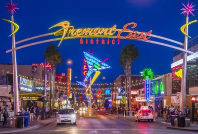
Las Vegas has set a goal to eliminate traffic deaths and severe injuries by 2050, according to an article by KTNV staff. The city is developing a Vision Zero initiative that will guide the implementation of policies to improve road safety.
The city’s website calls the plan “a collaborative effort to create safe, healthy and equitable mobility for all” and encourages residents to complete a public feedback survey. “According to a news release, Vision Zero will be a collaboration between the city of Las Vegas, local law enforcement and the Regional Transportation Commission of Southern Nevada, among other groups.”
With traffic fatalities on the rise, cities around the country are using Vision Zero as shorthand for pledging to improve traffic safety, but, as David Zipper points out in an April piece, varying degrees of political will and resources devoted to meaningful changes and infrastructure improvements have led to mixed results.
FULL STORY: City of Las Vegas introduces 'Vision Zero' initiative to eliminate traffic-related fatalities

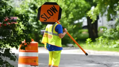
Traffic Safety Efforts Chug Ahead — Too Slowly for Some
Around the United States, traffic deaths are growing or plateauing, yet efforts to make roads safer still face political opposition.
How Cities are Spending Safe Streets Funds
New federal grant programs are injecting millions of dollars into road safety projects in an effort to stem the alarming growth of traffic deaths on U.S. roads.
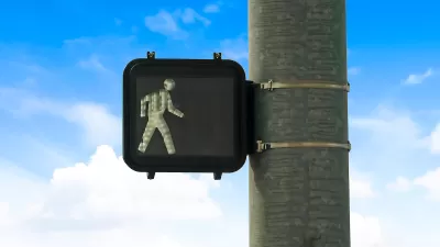
Why Are U.S. Roads So Deadly?
Despite an abundance of Vision Zero pledges, U.S. roads remain some of the most dangerous in the developed world.

Planetizen Federal Action Tracker
A weekly monitor of how Trump’s orders and actions are impacting planners and planning in America.

Map: Where Senate Republicans Want to Sell Your Public Lands
For public land advocates, the Senate Republicans’ proposal to sell millions of acres of public land in the West is “the biggest fight of their careers.”

Restaurant Patios Were a Pandemic Win — Why Were They so Hard to Keep?
Social distancing requirements and changes in travel patterns prompted cities to pilot new uses for street and sidewalk space. Then it got complicated.

Platform Pilsner: Vancouver Transit Agency Releases... a Beer?
TransLink will receive a portion of every sale of the four-pack.

Toronto Weighs Cheaper Transit, Parking Hikes for Major Events
Special event rates would take effect during large festivals, sports games and concerts to ‘discourage driving, manage congestion and free up space for transit.”

Berlin to Consider Car-Free Zone Larger Than Manhattan
The area bound by the 22-mile Ringbahn would still allow 12 uses of a private automobile per year per person, and several other exemptions.
Urban Design for Planners 1: Software Tools
This six-course series explores essential urban design concepts using open source software and equips planners with the tools they need to participate fully in the urban design process.
Planning for Universal Design
Learn the tools for implementing Universal Design in planning regulations.
Heyer Gruel & Associates PA
JM Goldson LLC
Custer County Colorado
City of Camden Redevelopment Agency
City of Astoria
Transportation Research & Education Center (TREC) at Portland State University
Camden Redevelopment Agency
City of Claremont
Municipality of Princeton (NJ)