A plan to prioritize equity would, according to regional planners, increase access to jobs and resources, reduce emissions, and improve public health.


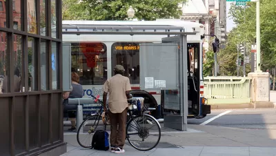
D.C. officials "are considering whether to prioritize historically underserved areas with high concentrations of minority and low-income residents when deciding where to target affordable housing, transportation investments and other improvements," reports Katherine Shaver. According to regional planners, "[c]ompleting the half-finished National Capital Trail Network, they say, would help more people reach transit-accessible jobs, while reducing traffic congestion and greenhouse gas emissions."
If the plan is approved, "equity would be at the forefront of decisions affecting public health, housing, economic development, job growth and climate change" in addition to transportation. "D.C. Council member Charles Allen (D), the Transportation Planning Board’s chair, said the approach would address the 'east-west divide' that stems from the western part of the region having more jobs and the eastern part having less expensive housing and longer commutes."
"Under the proposal, local governments would focus development around the region’s 150 'high-capacity transit' stations, along with another 75 expected to be built by 2030. That would use the land more efficiently, planners say, because transit stations occupy just 10 percent of the region’s land."
The Metropolitan Washington Council of Governments board will vote on the proposal on October 13. "Separately — but in line with the proposed equity-based approach — the planning board on Wednesday approved its first grants for preliminary design or engineering on local projects that would make it easier and safer to walk or bike to major transit stations."
Read the full story: D.C.-area leaders consider prioritizing equity in transportation and land use planning


The cities resisting rainbow bans
When the Trump administration went after colorful crosswalk treatments, some cities found creative ways to fight back.
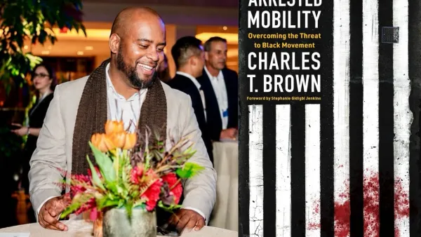
'Arrested mobility' and the fight for Black movement
Author Charles T. Brown explains how his experience growing up in rural Mississippi shaped his worldview and his current work for equitable transportation.
MPO Boards Don’t Reflect Their Constituencies
Metropolitan planning organizations make important transportation planning decisions, but their memberships often don’t reflect their region’s demographics.

Planetizen Federal Action Tracker
A weekly monitor of how Trump’s orders and actions are impacting planners and planning in America.

California plans to bury El Niño’s downpour
If the state plays its cards right, it may be able to store a billion acre-feet of El Niño’s water in aquifers.

Desperate measures: Advocates weigh draining Lake Powell to fill Colorado River
Draining the reservoir could reduce evaporation losses by a couple hundred thousand acre-feet.

California city breaks ground on transit connector
The project includes three mobility hubs and a pedestrian bridge.

After public outcry, Massachusetts city releases housing development tracker
Cambridge’s tracker currently shows 250 housing projects in various stages of development.

40 years after approval, Chicago breaks ground on new park
The park honors Jean Baptiste Point du Sable, the city’s first permanent non-native settler.

FREE Course: Walkable City 1: Why Walkability?
After describing his path towards focusing on walkability as the essence of good planning, Jeff Speck marches through his five principal reasons for making more walkable places.
Reinventing Malls: Planning Alchemy—Turning Gray Fields Into Gold
The course focuses on the opportunities and imperatives that shape reinvention of mall sites.

City of Rosemead
Rutgers University, Edward J. Bloustein School of Planning and Public Policy
One Hundred Miles
Hunter College, City University of New York (CUNY)
The Architects Foundation
University of Cincinnati Online
City of Cambridge
Montrose County
The Pocatello Development Authority