


There are surprisingly few maps of ancient Roman roads, and many fewer maps of ancient Roman roads that resemble big-city subway maps. An intrepid student has improved upon that situation, however.

John Metcalfe shares new of a"wonderfully though-out fantasy transit map that "reimagines the major thoroughfares of the Roman Empire circa 125 A.D. as dozens of stops along multicolored subway lines."
Sasha Trubetskoy, a 20-year-old statistics major at the University of Chicago, created the maps after noticing "dearth of good maps of Rome’s old road network…"
The article includes more details about how Trubetskoy made the map, and what it helps reveal about life in the Roman Empire.
FULL STORY: A Fantasy Subway Map of Ancient Roman Roads


Friday Eye Candy: Bike Maps That Look Like Transit Maps
Stylized maps of bike routes, similar to the example set my London transit maps. This is the best kind of mashup.
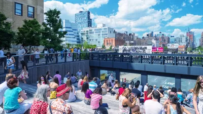
Friday Eye Candy: A Sorely-Needed Map of New York City Neighborhoods
Neighborhoods don't get the same official boundaries as cities, counties, states, and countries. So how do we know where one neighborhood ends and another begins?
Coming Soon: A New Transit Map for Philadelphia
Transit is getting a new look.

Planetizen Federal Action Tracker
A weekly monitor of how Trump’s orders and actions are impacting planners and planning in America.

Map: Where Senate Republicans Want to Sell Your Public Lands
For public land advocates, the Senate Republicans’ proposal to sell millions of acres of public land in the West is “the biggest fight of their careers.”

Restaurant Patios Were a Pandemic Win — Why Were They so Hard to Keep?
Social distancing requirements and changes in travel patterns prompted cities to pilot new uses for street and sidewalk space. Then it got complicated.

Albuquerque Route 66 Motels Become Affordable Housing
A $4 million city fund is incentivizing developers to breathe new life into derelict midcentury motels.

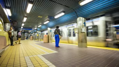
DC Area County Eliminates Bus Fares
Montgomery County joins a growing trend of making transit free.

Platform Pilsner: Vancouver Transit Agency Releases... a Beer?
TransLink will receive a portion of every sale of the four-pack.
Urban Design for Planners 1: Software Tools
This six-course series explores essential urban design concepts using open source software and equips planners with the tools they need to participate fully in the urban design process.
Planning for Universal Design
Learn the tools for implementing Universal Design in planning regulations.
Heyer Gruel & Associates PA
JM Goldson LLC
Custer County Colorado
City of Camden Redevelopment Agency
City of Astoria
Transportation Research & Education Center (TREC) at Portland State University
Camden Redevelopment Agency
City of Claremont
Municipality of Princeton (NJ)