transit maps
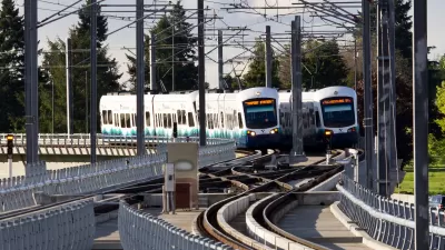
All Sound Transit Routes Get New, Alphanumeric Names
The "Red Line" didn't fly with people living in neighborhoods historically redlined by discriminatory real estate and land use practices.
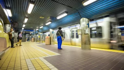
Coming Soon: A New Transit Map for Philadelphia
Transit is getting a new look.
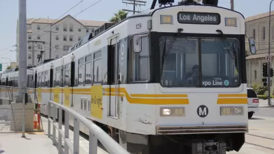
All of L.A.'s Rail Lines Will Get New Names
Goodbye, Blue Line. Welcome, A Line. Goodbye, Red Line. Welcome, B Line.

With a Growing Number of Transit Projects Planned, L.A. Considers Renaming Rail Lines
Like many cities, L.A. already has two trains in the blue color family. With more rail projects in the works, some think it's time to update the system.
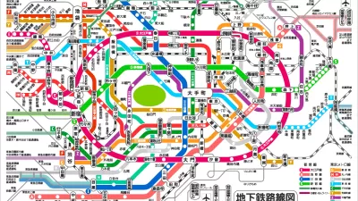
Friday Fun: Choose the Best in the 'World Cup of Transit Maps'
The perennial debate is renewed, and potentially resolved: Which city's metro system has the best transit map?
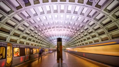
Redesign D.C.'s Metro With an Interactive Mapping Tool
Metro Map Maker allows users to add, alter, and erase pieces of the WMATA system—or redraw it from scratch.
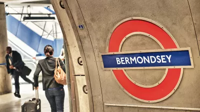
London Releases Tunnels Map for Claustrophobic Tube Riders
Transport for London has responded to customer requests for a new accessibility measure: a map to help riders avoid long tunnels.

Seoul and the Future of Transit
South Korea's capital enjoys better stations and more complete coverage from a train system that gets less of its money from government subsidies and charges lower fares.

Friday Eye Candy: Ancient Rome's Maps, Reimagined as a Transit System
There are surprisingly few maps of ancient Roman roads, and many fewer maps of ancient Roman roads that resemble big-city subway maps. An intrepid student has improved upon that situation, however.

Baltimore's New Bus System Comes With a Snazzy New Map
Fans of transit maps will have to watch out for the new map of BaltimoreLink.

Friday Eye Candy: Bike Maps That Look Like Transit Maps
Stylized maps of bike routes, similar to the example set my London transit maps. This is the best kind of mashup.
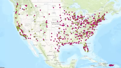
Hot Off the Press: The National Transit Map
The U.S. Department of Transit has released its first ever National Transit Map.
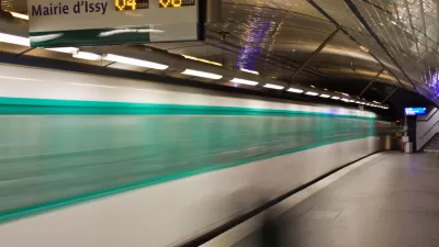
8 Lessons from the Paris Metro
Transportation planner Dan Malouff shares eight insights into what makes the Paris Metro one of the world's great subways.

U.S. DOT Making a National Transit Map
Transportation Secretary Antony Foxx called on local transit agencies earlier this month to share data to be used in building a comprehensive map of the nation's transit lines.
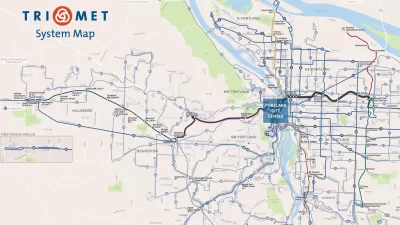
How to Design a Better Bus Transit Map
Not all transit maps are created equal. The new Portland TriMet map, for instance, does a much better job of illustrating the usefulness of its high-frequency network.
How to Build a Real-Time LED Display of Your City's Transit System
One MIT student's love of transit means no one in his house will ever miss the T.
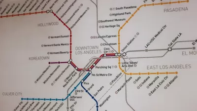
Pop Quiz: Can You Name Cities from their Transit Maps?
What better way to wind down from a long week thinking about cities and maps and transportation than by taking a quiz to show off your knowledge of cities and maps and transportation?
Help Pick Boston's Next Transit Map
The six finalists in an open competition to design Boston's next subway map have been revealed, and the Massachusetts Bay Transit Authority (MBTA) is asking the public to weigh in on the winner.
Urban Design for Planners 1: Software Tools
This six-course series explores essential urban design concepts using open source software and equips planners with the tools they need to participate fully in the urban design process.
Planning for Universal Design
Learn the tools for implementing Universal Design in planning regulations.
Heyer Gruel & Associates PA
JM Goldson LLC
Custer County Colorado
City of Camden Redevelopment Agency
City of Astoria
Transportation Research & Education Center (TREC) at Portland State University
Jefferson Parish Government
Camden Redevelopment Agency
City of Claremont


