


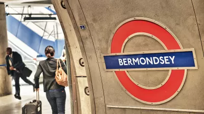
Transport for London has responded to customer requests for a new accessibility measure: a map to help riders avoid long tunnels.

Fewer than half of the London Underground's 270 stations are actually underground, reports Metro Magazine. But sections that are can be uncomfortable, and make it especially difficult for claustrophobic or anxious transit riders to use the system (especially together with reported poor air quality in the subway cars).
To improve accessibility for all riders, Transport for London has published a new map highlighting parts of the transit network that are underground and suggesting routes that avoid long stretches of tunnels.
In the new design, parts of the lines have been given a grey overlay to illustrate which stations or sections of track are underground. The new map also shows which London Overground, DLR and TfL Rail services are in tunnels.
The tunnels map was initially suggested in customer feedback, and is part of TfL's broader campaign to improve user experience. Consultants in that effort are now working in California's Culver City, where a new Metro line is booming even as transit ridership in Los Angeles and throughout the nation continues to decline.
FULL STORY: Map to help people with claustrophobia, anxiety navigate London Tube

How London's Leading on Transit Data
Transport for London is forging ahead on several projects to collect and use more rider data. One initiative draws on WiFi connections to map users' paths through the London Underground.

Biking in London Grew by 20 Percent Since 2019
Pandemic-induced changes and improved bike infrastructure have contributed to the impressive growth of cycling as a mode share.
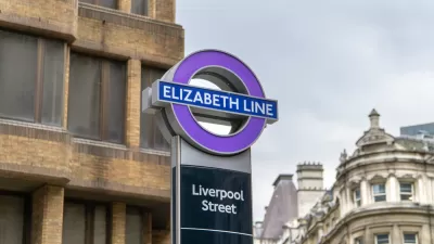
$22 Billion Elizabeth Line Finally Opens in London, With the Queen in Attendance
May 17, 2022 was a big day for transit in London.

Planetizen Federal Action Tracker
A weekly monitor of how Trump’s orders and actions are impacting planners and planning in America.

Maui's Vacation Rental Debate Turns Ugly
Verbal attacks, misinformation campaigns and fistfights plague a high-stakes debate to convert thousands of vacation rentals into long-term housing.

Restaurant Patios Were a Pandemic Win — Why Were They so Hard to Keep?
Social distancing requirements and changes in travel patterns prompted cities to pilot new uses for street and sidewalk space. Then it got complicated.

In California Battle of Housing vs. Environment, Housing Just Won
A new state law significantly limits the power of CEQA, an environmental review law that served as a powerful tool for blocking new development.

Boulder Eliminates Parking Minimums Citywide
Officials estimate the cost of building a single underground parking space at up to $100,000.

Orange County, Florida Adopts Largest US “Sprawl Repair” Code
The ‘Orange Code’ seeks to rectify decades of sprawl-inducing, car-oriented development.
Urban Design for Planners 1: Software Tools
This six-course series explores essential urban design concepts using open source software and equips planners with the tools they need to participate fully in the urban design process.
Planning for Universal Design
Learn the tools for implementing Universal Design in planning regulations.
Heyer Gruel & Associates PA
JM Goldson LLC
Custer County Colorado
City of Camden Redevelopment Agency
City of Astoria
Transportation Research & Education Center (TREC) at Portland State University
Jefferson Parish Government
Camden Redevelopment Agency
City of Claremont