Build it and they will come hasn't worked out so well for the Gillespie Field station on the Green Line of the San Diego Metropolitan Transit System. A recent scorecard rated the station lowest among 489 competitors.


Mark Srikishnan provides a case study of the worst rail station in the state of California—that dubious distinction courtesy of the metric produced by a report recently released by Next 10, which graded the state's 489 rail stations on their connection to their surrounding neighborhood.
The lowest scoring station of all 489 stations: the Gillespie Field trolley station, located in El Cajon on the Green Line of the San Diego Metropolitan Transit System. According to Srikishnan, the station is located near the county-owned Gillespie Field Airport, but not much else.
The isolation of the station did not fare well with the criteria of the study, described by Srikishnan: "There needed to be a high number of residents or employees in the surrounding areas who actually relied on public transportation. The station needed to be near amenities, like stores, banks and restaurants. It also needed to encourage walking with features like dense housing, sidewalks and cross-walks. The study also looked at home values, crime rates and any future plans for development in the transit areas."
So, for instance, the Gillespie Station earns a Walkscore of 32. Srikishnan also reports that development plans on the table in 1995, when the station originally opened, failed to materialize. Both CalTrans and the San Diego Association of Governments have targeted the Gillespie Field for growth, and "El Cajon recently submitted a proposal to SANDAG for funds to actually make some of these visions a reality."
Read the full story: The Case of the Worst-Ranked Transit Station in California
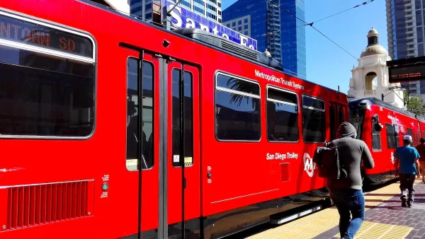
San Diego Trolley Nation’s Most Popular Light Rail
The system's ridership benefited from an extension project and free transit for youth.

San Diego Expands Transit Oriented Zoning From a Half-Mile to a Mile
A recent package of code changes by the city of San Diego will make it possible to build high-rise residential buildings and accessory dwelling units in larger areas around public transit.
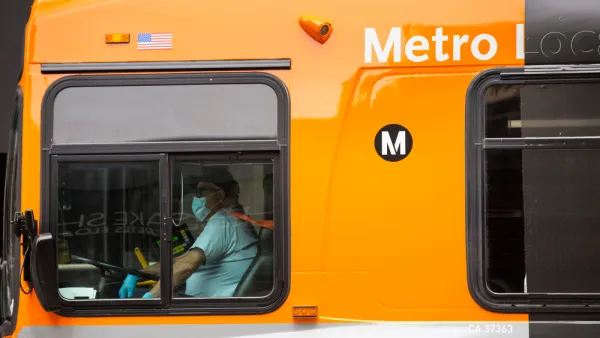
How to Hire and Retain Bus Drivers During the Great Resignation
Bus systems all over the country are cutting service due to an ongoing shortage of operators—the drivers who make the whole system go. A few examples of success provide a way forward.
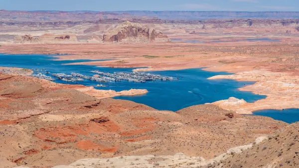
Desperate measures: Advocates weigh draining Lake Powell to fill Colorado River
Draining the reservoir could reduce evaporation losses by a couple hundred thousand acre-feet.

Eastern Nebraska is running out of electricity
Data centers and electrification are straining eastern Nebraska’s grid, throttling economic development.
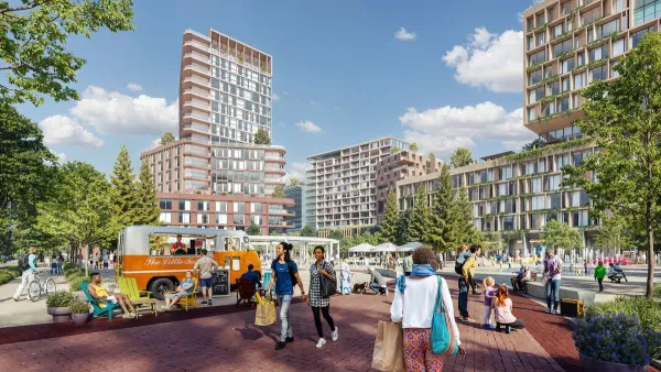
Malls are becoming the midtowns of the future
Mall and office park redevelopments are a generational opportunity to create new nodes of urbanity.

One Kentucky town’s secret to affordable housing
The Smoketown Community Land Trust has already built seven affordable homes for community members.

Houston gains petal-shaped cooling infrastructure to make streets more ‘delightful’
The city has installed the pavilions along 15 blocks in Houston.

After years of opposition to light rail, this L.A. city wants a $200 million station
Cerritos officials want the Southeast Gateway Line, a planned 14.5-mile light rail route through Los Angeles County, to stop in their city.

FREE Course: Walkable City 1: Why Walkability?
After describing his path towards focusing on walkability as the essence of good planning, Jeff Speck marches through his five principal reasons for making more walkable places.
Reinventing Malls: Planning Alchemy—Turning Gray Fields Into Gold
The course focuses on the opportunities and imperatives that shape reinvention of mall sites.

City of Rosemead
Rutgers University, Edward J. Bloustein School of Planning and Public Policy
One Hundred Miles
University of Michigan School for Environment and Sustainability (SEAS)
Hunter College, City University of New York (CUNY)
The Architects Foundation
City of Cambridge
Montrose County
The Pocatello Development Authority