


Proposals for light rail, streetcar, and BRT lines spread in every direction from Washington D.C. into nearby climes. Although some are more realistic than others, one blog dares to dream about what the full extent of the proposals would look like.
Dan Malouff writes a post, and creates a map, that imagines the full extent of the 267 miles of proposed light rail, streetcar, and bus rapid transit lines proposed in the D.C. metro area.
"This map combines the DC streetcar and MoveDC bus lane plan with the Arlington streetcar plan, the Alexandria transitway plan, Montgomery's BRT plan, and Fairfax's transit network plan, plus the Purple Line, the Corridor Cities Transitway, the Long Bridge study, the Wilson Bridge transit corridor, and finally the Southern Maryland transit corridor."
Malouff provides the caveat that it would be decades before all this infrastructure could be built, if ever. Some of the plans have been in the works since the 1990s, and others are so new that have yet to receive a feasibility study.
"But still," says Malouff, "267 miles is an awfully impressive network. Now let's build it."
FULL STORY: The DC region has over 250 miles of planned light rail, streetcar, & BRT

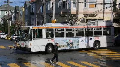
The Transit Catastrophe Continues: San Francisco, D.C. Forecast Service Cuts, Layoffs
Advocates have been waiting for the other shoe to drop as transit agencies deal with cratered revenues during the pandemic without support from Congress.

D.C. Metro Seeks Public Input on Proposed Service Cuts
D.C. Metro Seeks Public Input on Proposed Service Cuts
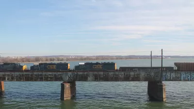
Key Virginia Rail Bridge Project Completes Environmental Review
A $1.9 billion project to add a second set of rail tracks to the Long Bridge that connects Virginia to D.C. is ready to move forward with a recently completed Environmental Impact Statement.

Planetizen Federal Action Tracker
A weekly monitor of how Trump’s orders and actions are impacting planners and planning in America.

Map: Where Senate Republicans Want to Sell Your Public Lands
For public land advocates, the Senate Republicans’ proposal to sell millions of acres of public land in the West is “the biggest fight of their careers.”

Restaurant Patios Were a Pandemic Win — Why Were They so Hard to Keep?
Social distancing requirements and changes in travel patterns prompted cities to pilot new uses for street and sidewalk space. Then it got complicated.

Platform Pilsner: Vancouver Transit Agency Releases... a Beer?
TransLink will receive a portion of every sale of the four-pack.

Toronto Weighs Cheaper Transit, Parking Hikes for Major Events
Special event rates would take effect during large festivals, sports games and concerts to ‘discourage driving, manage congestion and free up space for transit.”

Berlin to Consider Car-Free Zone Larger Than Manhattan
The area bound by the 22-mile Ringbahn would still allow 12 uses of a private automobile per year per person, and several other exemptions.
Urban Design for Planners 1: Software Tools
This six-course series explores essential urban design concepts using open source software and equips planners with the tools they need to participate fully in the urban design process.
Planning for Universal Design
Learn the tools for implementing Universal Design in planning regulations.
Heyer Gruel & Associates PA
JM Goldson LLC
Custer County Colorado
City of Camden Redevelopment Agency
City of Astoria
Transportation Research & Education Center (TREC) at Portland State University
Camden Redevelopment Agency
City of Claremont
Municipality of Princeton (NJ)