Excessive speeding along dangerous segments of Roosevelt Boulevard dropped by 90 percent after the city installed automated enforcement cameras.


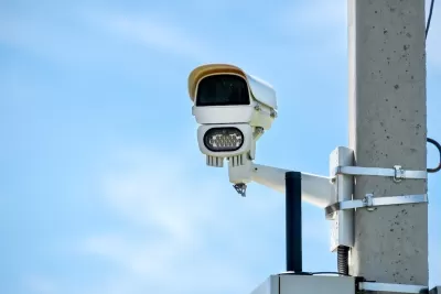
Traffic fatalities were cut in half along a Philadelphia boulevard after the city installed automated speed cameras. Writing in Smart Cities Dive, Dan Zukowski notes that Roosevelt Boulevard also saw a 90 percent reduction in excessive speeding in the seven months since the cameras’ installation.
The 12-lane highway through densely populated neighborhoods in Northeast Philadelphia has a posted speed limit of 45 mph. A Streetlight Data analysis found that before speed cameras, the mean speed along one segment where there have been many fatal crashes was 51 mph at 8 a.m. on an average Tuesday.
The total number of crashes on the street fell by 36 percent in a year, while that number only fell by 6 percent across the entire city. While average speeds continue to decline along the segments with cameras, other parts of the boulevard continue to pose a threat to pedestrians, warranting additional safety improvements, according to an analysis by Streetlight Data. “In 2023 the state secured a $14.5 million federal grant that will go toward curb extensions, realigned crosswalks and lane configurations, improved traffic signals and new or renovated transit stops along Roosevelt Boulevard.”
Read the full story: How Philadelphia cut crashes on one of its most dangerous roads

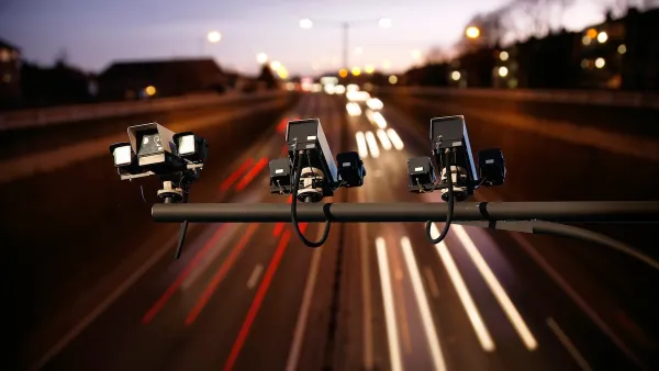
States Have Mixed Feelings on Speed Cameras
While some states and cities are embracing automated traffic enforcement as a tool for improving road safety, others are banning the technology over concerns that the programs are designed for profit rather than public benefit.
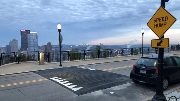
Pittsburgh Excels at Low-Cost, Quick-Build Traffic Calming
The city’s traffic calming initiative has led to a 6 percent average reduction in speeds on corridors with recent interventions.
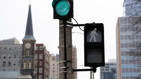
Milwaukee Announces 60 Traffic Calming Projects for 2025
The city has successfully reduced traffic deaths and aims to eliminate them completely within the next decade.

Planetizen Federal Action Tracker
A weekly monitor of how Trump’s orders and actions are impacting planners and planning in America.

Amtrak, CN end decades-long dispute with eight-year agreement
The new operating agreement establishes an updated framework for the companies to work together, including processes to resolve disputes.

Judges permit Denver to divert 77,000 acre feet from the Colorado River for reservoir expansion
Overuse and climate change have caused the Colorado River’s water levels to plummet.

NYC plants over 18,000 trees, the most new foliage in a decade
Many of the trees were planted in communities vulnerable to extreme heat.

New bill requires California data center developers to create water scarcity plans
Gov. Gavin Newsom recently signed 7 bills intended to give California communities more information about the impact of proposed data centers.

San Diego may kill one-third of its bus routes as budget crisis looms
Under the city's proposed plan, 21% of Metropolitan Transit System riders would lose access to transit services.

FREE Course: Walkable City 1: Why Walkability?
After describing his path towards focusing on walkability as the essence of good planning, Jeff Speck marches through his five principal reasons for making more walkable places.
Reinventing Malls: Planning Alchemy—Turning Gray Fields Into Gold
The course focuses on the opportunities and imperatives that shape reinvention of mall sites.

City of Wisconsin Rapids
Harvard University Graduate School of Design
KFH Group Inc.
The Architects Foundation
University of Cincinnati Online
The Pocatello Development Authority
The Urban Renewal Agency of the City of Pocatello