The IndyGo board of directors scrapped a bus system redesign planned for launch in June 2020 as part of its Covid-19 emergency response. The transit agency is now seeking public feedback on a new map with similar changes.


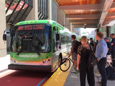
IndyGo, the public transit service agency for the city of Indianapolis and the surrounding Marian County, is dusting off a bus system redesign plan it paused for the pandemic.
The “Central Indiana Transit Plan,” created in 2016, “outlined a 5-year vision that included three bus rapid transit routes, slightly fewer local bus routes that come more often over longer hours, and a map that resembles more of a grid system instead of the existing hub-and-spoke system that routes most buses through downtown,” according to an article by Kayla Dwyer for the IndyStar.
IndyGo made substantial progress on the plan, launching the Red Line in 2019, breaking ground on the Purple Line in 2022, and recently opening its first “Super Stop” last month. The transit agency has also seen costs on bus rapid transit (BRT) construction skyrocket and battled the state for funding in 2020, 2021, and 2022.
A new bus system based on a high-frequency grid, intended to go into effect in June 2020, was also scrapped during the pandemic, when the IndyGo board of directors “adopted an emergency plan in response to COVID-19 that delayed those changes indefinitely,” according to Dwyer.
To relaunch the system redesign, IndyGo has released an updated map, still promising “more efficient, faster service, at the expense of a few lower-ridership routes,” and is hosting a series of public meetings to gather feedback on the map.
“Currently, IndyGo's bus routes are split roughly into thirds in terms of 15-minute, 30-minute and 60-minute frequency. The proposed new map would have almost entirely 15- and 30-minute routes, apart from three 60-minute routes in southeast Indianapolis and 10-minute service on the Red, Purple and Blue Lines,” reports Dwyer.
More details about the changes to the system pam and the schedule for implementation are included in the source article below.
Read the full story: IndyGo is proposing a new local bus route map. What to know and how to give input

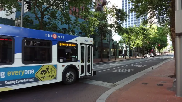
‘Forward Together’ Bus System Redesign Rolling Out in Portland
Portland is redesigning its bus system to respond to the changing patterns of the post-pandemic world—with twin goals of increasing ridership and improving equity.
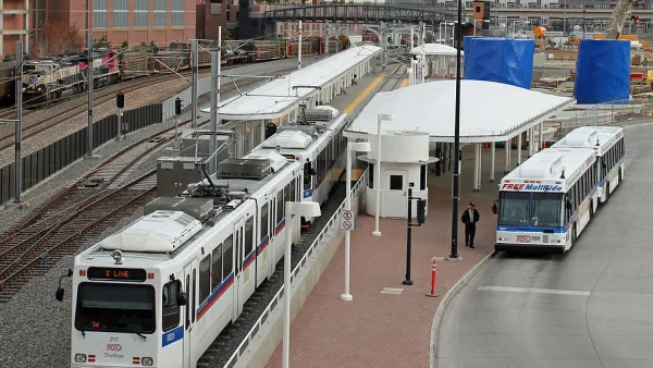
Denver's Regional Transit District to Overhaul Bus System
The Regional Transportation District will focus on providing improved service on its most popular lines while eliminating underused routes and replacing them with on-demand microtransit.
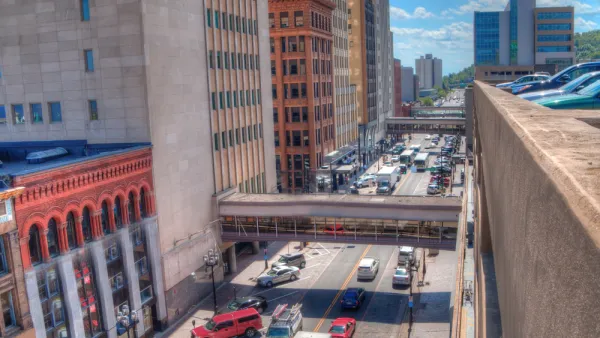
New High-Frequency Bus Service Dubbed 'Go Lines' in Duluth
The city of Duluth's reimagined bus transit system will go into effect in Summer 2022 along green and blue "Go Lines."

Planetizen Federal Action Tracker
A weekly monitor of how Trump’s orders and actions are impacting planners and planning in America.

California plans to bury El Niño’s downpour
If the state plays its cards right, it may be able to store a billion acre-feet of El Niño’s water in aquifers.

Chicago breaks ground on $3 billion megadevelopment
The new neighborhood, titled Foundry Park, will one day host 3,700 residences.

California High-Speed Rail Authority CEO resigns after $600,000 scandal
Under Ian Choudri, the authority used taxpayer dollars to fund first class flights and trips to nightclubs.

Want to study the Missouri River? Soon, you may need unanimous approval from 10 states
Legislation would require 10 governors’ permission to study or build projects moving water outside the basin.

Desperate measures: Advocates weigh draining Lake Powell to fill Colorado River
Draining the reservoir could reduce evaporation losses by a couple hundred thousand acre-feet.

FREE Course: Walkable City 1: Why Walkability?
After describing his path towards focusing on walkability as the essence of good planning, Jeff Speck marches through his five principal reasons for making more walkable places.
Reinventing Malls: Planning Alchemy—Turning Gray Fields Into Gold
The course focuses on the opportunities and imperatives that shape reinvention of mall sites.


City of Rosemead
Rutgers University, Edward J. Bloustein School of Planning and Public Policy
One Hundred Miles
Hunter College, City University of New York (CUNY)
The Architects Foundation
University of Cincinnati Online
City of Cambridge
Montrose County
The Pocatello Development Authority