New York City is the furthest along with a congestion pricing scheme, but San Francisco and Los Angeles are catching up in California.


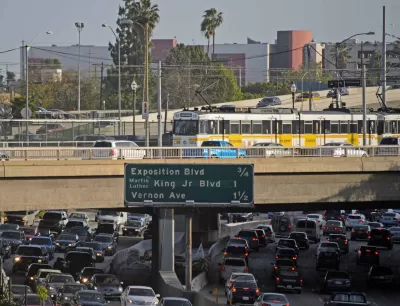
According to an article by Steve Hymon, the big-ticket item of the study is an initial examination congestion pricing for the region. Metro is conducting a series of public hearings this month to gather feedbacks on four potential congestion pricing concepts. In each case, Hymon says Metro the term "managing traffic" is used to describe the concept of congestion pricing.
- The Santa Monica Mountains Corridor concept would toll some combination of the freeways and roads that cross the Santa Monica Mountains between Interstate 405 and Interstate 5.
- The Downtown L.A. Freeway Corridor concept would apply to the busy freeways leading into and away from Downtown.
- The Downtown L.A. Cordon would work more like the congestion pricing scheme proposed in Manhattan, tolling cars that entire the geographic area of Downtown Los Angeles as bound by the 110, 10, 101, and 5 freeways. "Additional transportation improvements would be explored for this area as part of the study," according to Hymon.
- The I-10 Corridor concept would apply on the I-10 freeway between Downtown Los Angeles and Santa Monica. "To mitigate potential spillover traffic, the I-10 and parallel arterials will be included in the analysis," similar to the Santa Monica Mountain Corridor concept.
The article provides a through description of how congestion pricing works as well as how Metro would potentially supplement the region's transportation options to provide alternatives to car travel if and when a congestion pricing concept is implemented.
Previous Planetizen coverage of the congestion pricing idea in Los Angeles.
- Congestion Pricing in Los Angeles? (December 2018)
- Transit Agency Chief to Propose Congestion Pricing for Los Angeles (January 2019)
- Report: Modest Congestion Charge Would Produce Dramatic Results in Los Angeles (April 2019)
Planetizen coverage of other U.S. cities exploring congestion pricing.
- Congestion Pricing Gains Traction in Seattle (July 2019)
- Portland Ready to Experiment With New Forms of Road Pricing (October 2019)
- Congestion Pricing Under Discussion in San Francisco (November 2019)
Read the full story: Traffic Reduction Study hosts virtual meetings to learn more about early concepts
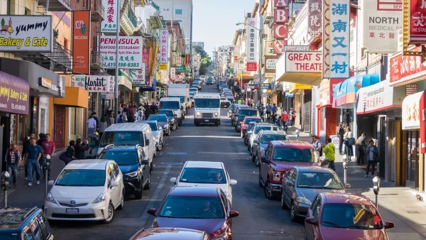
Congestion Pricing Under Discussion in San Francisco
An expanding number of major U.S. cities are exploring the idea of charging drivers to drive into certain heavily trafficked parts of town. San Francisco is the most recent to explore the idea of congestion pricing (also known as cordon pricing).
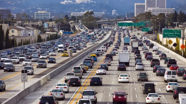
Congestion Pricing Marks the End of an Era
A New York Times article marks the historic significance of congestion pricing—gone are the days of treating roads like they're free while ignoring their costs.
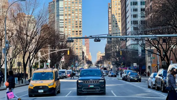
NYC’s ‘Rare and Comprehensive’ Public Data Reveals Congestion Pricing's Success
The Metropolitan Transportation Authority’s analytics and data team maintains over 180 regularly updated datasets about the city’s transportation system.

Planetizen Federal Action Tracker
A weekly monitor of how Trump’s orders and actions are impacting planners and planning in America.

Eastern Nebraska is running out of electricity
Data centers and electrification are straining eastern Nebraska’s grid, throttling economic development.
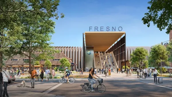
California High-Speed Rail Authority picks trainset manufacturer
The California High-Speed Rail Authority aims to start servicing passengers by 2033.

What could the future of LA transit look like under Raman?
The mayor-elect views broken sidewalks and potholes as crises that can be fixed with better governance.

States are counting on battery farms. Some towns don’t want them.
While fire safety has improved, some communities are still wary.

Dallas releases zoning code overhaul to officials
The drafted overhaul is over 400 pages long.

FREE Course: Walkable City 1: Why Walkability?
After describing his path towards focusing on walkability as the essence of good planning, Jeff Speck marches through his five principal reasons for making more walkable places.
Reinventing Malls: Planning Alchemy—Turning Gray Fields Into Gold
The course focuses on the opportunities and imperatives that shape reinvention of mall sites.

City of Rosemead
Rutgers University, Edward J. Bloustein School of Planning and Public Policy
One Hundred Miles
University of Michigan School for Environment and Sustainability (SEAS)
Hunter College, City University of New York (CUNY)
The Architects Foundation
City of Cambridge
The Pocatello Development Authority
The Urban Renewal Agency of the City of Pocatello