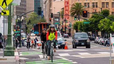
Suddenly, cars aren't the first priority on 10 percent of the roadway in Oakland, California.


[Headline and story updated on April 13, 2020 to better describe the "Oakland Slow Streets" program.]
"Cars will soon be banned from 74 miles of Oakland's residential streets during the coronavirus-inpsired [sic] shelter-in-place, a move bicycle advocates wish would happen in other cities," report Allie Rasmus and Lisa Fernandez.
"The emergency measure, called 'Oakland Slow Streets,' will banish motorized vehicles from 10% of the roadway space in Oakland," according to the article.
Update: cars will not be entirely banished from the streets. Rather, cars will be required to travel at no faster than 10 mph while giving priority to pedestrians and people on bikes, according ot additional information reported by Roger Rudick.
The Oakland Slow Streets program moves Oakland far into the lead of the national trend of cities blocking cars from streets to allow more space for pedestrians and people on bikes. Minneapolis previously opened 18 miles of streets.
Rachel Swan provides additional coverage of the Oakland Slow Streets program in a paywalled article for the San Francisco Chronicle.
Read the full story: Oakland to close 74 miles of streets to cars, paving way for pedestrians and bicyclists

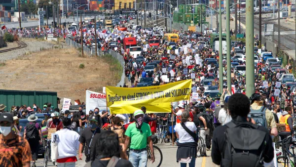
How Oakland Is Fixing its Pandemic Planning Equity Problem
The Oakland Slow Streets program, one of the most controversial developments of the early pandemic, has evolved to become the Essential Places initiative, thanks to new planning practices and a commitment to equity in Oakland, California.
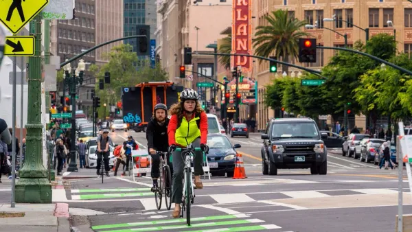
Watch Oakland's Slow Streets Program in Action
Oakland offers a model for other streets looking to provide new space for pedestrians and people on bikes to get exercise at a space physical distance.
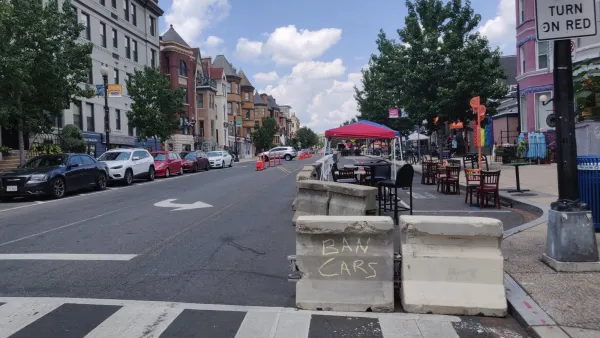
The Slow Streets Reckoning
Slow streets programs provided a quick short-term solution and paved the way for some permanent street closures and realignments. Now, these programs are getting a second look as community groups react to the changes.

Planetizen Federal Action Tracker
A weekly monitor of how Trump’s orders and actions are impacting planners and planning in America.

California plans to bury El Niño’s downpour
If the state plays its cards right, it may be able to store a billion acre-feet of El Niño’s water in aquifers.

Chicago breaks ground on $3 billion megadevelopment
The new neighborhood, titled Foundry Park, will one day host 3,700 residences.

Satanic Place Names
From streams and lakes to valleys and canyons, I mapped more than 1,000 places named after the Devil.

California High-Speed Rail Authority CEO resigns after $600,000 scandal
Under Ian Choudri, the authority used taxpayer dollars to fund first class flights and trips to nightclubs.

Want to study the Missouri River? Soon, you may need unanimous approval from 10 states
Legislation would require 10 governors’ permission to study or build projects moving water outside the basin.

FREE Course: Walkable City 1: Why Walkability?
After describing his path towards focusing on walkability as the essence of good planning, Jeff Speck marches through his five principal reasons for making more walkable places.
Reinventing Malls: Planning Alchemy—Turning Gray Fields Into Gold
The course focuses on the opportunities and imperatives that shape reinvention of mall sites.

City of Rosemead
Rutgers University, Edward J. Bloustein School of Planning and Public Policy
One Hundred Miles
Hunter College, City University of New York (CUNY)
The Architects Foundation
University of Cincinnati Online
City of Cambridge
Montrose County
The Pocatello Development Authority