The Brooklyn-Queens Connector, known as the BQX streetcar, was spotted making plans on the Internet earlier this month.



"After much uncertainty and relative quiet, an updated timeline has been announced for the Brooklyn-Queens Connector (BQX streetcar) that would connect 11 miles of Brooklyn and Queens," reports Drew Zeiba.
A new website, published by the New York City Economic Development Corporation and the New York City Department of Transportation, details the current state of planning for the BQX. The streetcar plan has provoked strong criticism, and numerous occasions to speculate on the project's imminent demise, since it was first proposed by Mayor Bill de Blasio.
The planned streetcar route would run 13 miles, connecting Red Hook in Brooklyn to Astoria in Queens and with numerous bus and subway routes along the way.
"The BQX team proposes having at least five community board presentations and a minimum of five workshops this winter, and intend to collect public opinion on the $2.7 billion project via the new website and engage in on-the-ground outreach," according to Zeiba.
Read the full story: NYC launches new website outlining timeline and process for the BQX streetcar

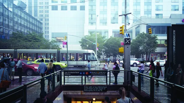
Brooklyn-Queens Streetcar Will Live or Die in the Next Administration
Construction on the Brooklyn-Queens Streetcar, a potential legacy project for New York Mayor Bill de Blasio, was supposed to begin in 2019. The fate of the heavily debated project will rest with the next mayor.
BQX Streetcar Lacks Funding in de Blasio's Proposed Budget
It's been awhile since the proposed BQX Streetcar project had any forward momentum in New York City.
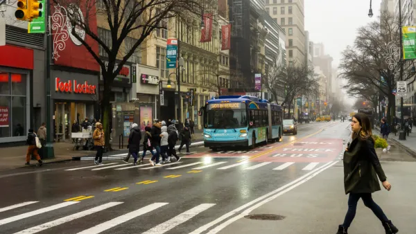
Bus Lane Plans Continue Retreat in New York City—This Time it's Fifth Avenue
The de Blasio administration caved to the interests of a Manhattan real estate developer and shelved a plan to prioritize bus transit over private automobiles on one of the most famous corridors in the world.

Planetizen Federal Action Tracker
A weekly monitor of how Trump’s orders and actions are impacting planners and planning in America.

California plans to bury El Niño’s downpour
If the state plays its cards right, it may be able to store a billion acre-feet of El Niño’s water in aquifers.

Chicago breaks ground on $3 billion megadevelopment
The new neighborhood, titled Foundry Park, will one day host 3,700 residences.

California High-Speed Rail Authority CEO resigns after $600,000 scandal
Under Ian Choudri, the authority used taxpayer dollars to fund first class flights and trips to nightclubs.

Want to study the Missouri River? Soon, you may need unanimous approval from 10 states
Legislation would require 10 governors’ permission to study or build projects moving water outside the basin.

Desperate measures: Advocates weigh draining Lake Powell to fill Colorado River
Draining the reservoir could reduce evaporation losses by a couple hundred thousand acre-feet.

FREE Course: Walkable City 1: Why Walkability?
After describing his path towards focusing on walkability as the essence of good planning, Jeff Speck marches through his five principal reasons for making more walkable places.
Reinventing Malls: Planning Alchemy—Turning Gray Fields Into Gold
The course focuses on the opportunities and imperatives that shape reinvention of mall sites.

City of Rosemead
Rutgers University, Edward J. Bloustein School of Planning and Public Policy
One Hundred Miles
Hunter College, City University of New York (CUNY)
The Architects Foundation
University of Cincinnati Online
City of Cambridge
Montrose County
The Pocatello Development Authority