


Candidates drop names for a reason.

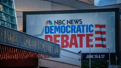
Despite campaign platforms and media coverage that have focused with unprecedented intensity on matters related to the built and natural environments, last week's Democrat Candidate debates featured only one signature moment that addressed urban policies: the tit-for-tat between Senator Kamala Harris and former Vice President Joe Biden over bussing policies in Berkeley, California, which has been widely discussed in the media since the debates.
Laura Bliss writes for CityLab to document the other, less ballyhooed mentions of urban policy and specific local contexts throughout the two-day debate event.
Bliss prefaces this analysis with an interesting idea about the way candidates use references to local and regional signifiers to build credibility and recognition with the audience:
On a presidential debate stage, place matters. With a slew of candidates jockeying for breakout moments and, in many cases, introducing themselves to a national audience for the first time, regional identifiers are one of the best sorting mechanisms voters get. But presidential aspirants must balance playing up their hometown roots to tell stories and display their relatability with the need to make sweeping gestures toward national reconciliation. Many reeled off campaign stops to build credibility with unfamiliar regions. Some places appeared as political touchstones, like the locations of recent mass shootings, or synecdoches like “Washington” and “Wall Street.” Certain candidates repeatedly highlighted geography as destiny—but it may be just as telling who abandoned their atlases.
The article includes a map of the specific place references that also indicates the candidates' hometowns, as well as a map of worldwide locations referenced by the candidates. The bulk of the article is devoted to each reference by candidates of specific locations and policies that affect communities.
Under the criteria for the next round of debates, scheduled for July, only 14 of the current candidates would qualify, so the sample size of opinion on matters involving cities from the Democratic candidates for president is bound to start shrinking, and soon. The criteria get even more stringent in September.
FULL STORY: We Mapped Every Place Mentioned by the Democratic Candidates


Urban Planning and the Democratic Debate Field
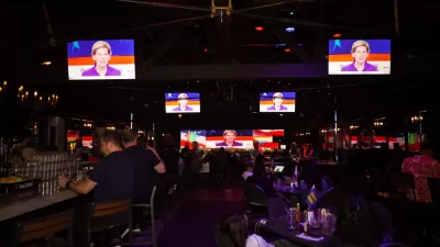
The Democratic Party will hold a two-day debate event, starting tonight. It's time to brush up on the positions of the leading candidates on policies and politics relate to housing, climate change, and infrastructure.
Presidential Candidates Discuss the California Housing Crisis
Many of the Democratic candidates have offered housing policy plans as a key plank in their election platforms, but here a prominent YIMBY politician confronts them directly on the housing crisis in California.
Town Hall Spotlights Democrats' Climate Change Proposals
Critics of the earliest Democratic candidate debates have noted a conspicuous lack of substantive and concentrated discussion on one of the great existential threats of the era: climate change. Neglect of the subject could change soon.

Planetizen Federal Action Tracker
A weekly monitor of how Trump’s orders and actions are impacting planners and planning in America.

Map: Where Senate Republicans Want to Sell Your Public Lands
For public land advocates, the Senate Republicans’ proposal to sell millions of acres of public land in the West is “the biggest fight of their careers.”

Restaurant Patios Were a Pandemic Win — Why Were They so Hard to Keep?
Social distancing requirements and changes in travel patterns prompted cities to pilot new uses for street and sidewalk space. Then it got complicated.

Platform Pilsner: Vancouver Transit Agency Releases... a Beer?
TransLink will receive a portion of every sale of the four-pack.

Toronto Weighs Cheaper Transit, Parking Hikes for Major Events
Special event rates would take effect during large festivals, sports games and concerts to ‘discourage driving, manage congestion and free up space for transit.”

Berlin to Consider Car-Free Zone Larger Than Manhattan
The area bound by the 22-mile Ringbahn would still allow 12 uses of a private automobile per year per person, and several other exemptions.
Urban Design for Planners 1: Software Tools
This six-course series explores essential urban design concepts using open source software and equips planners with the tools they need to participate fully in the urban design process.
Planning for Universal Design
Learn the tools for implementing Universal Design in planning regulations.
Heyer Gruel & Associates PA
JM Goldson LLC
Custer County Colorado
City of Camden Redevelopment Agency
City of Astoria
Transportation Research & Education Center (TREC) at Portland State University
Camden Redevelopment Agency
City of Claremont
Municipality of Princeton (NJ)