Vox and Curbed provide multi-media coverage of a Staten Island sea wall project as an example of the necessity of resilient infrastructure, and the shortcomings of our ability to predict the needs of the built environments in changed climates.


Sister sites Vox and Curbed teamed up for a video and news article collaboration on the subject of New York City's plans to protect Staten Island from sea level rise and climate change by building a massive barrier.
According to the original article, written by Nathan Kensinger for Curbed, the South Shore of Staten Island Coastal Storm Risk Management Project would build a 5.3-mile long barrier from Fort Wadsworth to Oakwood Beach. "The United States Army Corps of Engineers (USACE) is now planning to break ground on this $615 million project in 2020, and expects it to be finished in approximately four years," according to Kensinger.
The project is "staggering in scope," according to Kensinger: "It will include a 4.3-mile seawall with a public promenade built on top, one mile of levees and floodwalls, and more than 180 acres of newly excavated stormwater detention ponds. The project encompasses an area with over 30,000 residents and 7,300 structures, and will protect some of the coastal neighborhoods that suffered the worst damage during Hurricane Sandy, including Arrochar, South Beach, Ocean Breeze, Graham Beach, Midland Beach, New Dorp Beach, and Oakwood Beach."
Kensinger's longread coverage of the project ranges from accounts of the devastation from Superstorm Sandy to the other big sea-level rise resilience projects in the works around New York, such as the East Side Coastal Resiliency Project, which would protect a stretch of Manhattan coastline. The article is also thoroughly supplemented with illustrative photographic examples of damage from Sandy and the locations that are bound to be transformed by future resilience efforts.
The video featured above puts Staten Island's approach to sea-level rise in context of larger thinking about resilience in the face of climate change.
Read the full story: On Staten Island, a massive barrier will rise to protect against climate change

Lower Manhattan Climate Resilience Plan Released
The Financial District and Seaport Climate Resilience Master Plan will extend the shoreline in Lower Manhattan by up to 200 feet.
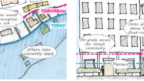
Proposed Citywide Rezoning Would Layer Resilience in New York City
With 520 miles of coastline, New York City is ready to implement the lessons of Hurricane Sandy in the zoning code for the entire city.
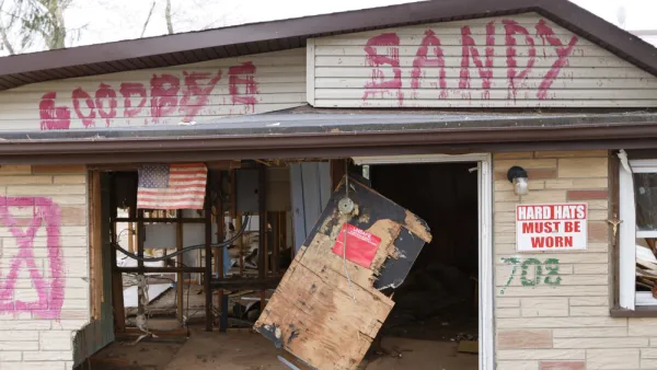
Managed Retreat in New York City
More and more New Yorkers will face the prospect of encroaching seas in the coming decades, and the unwanted choice of whether to stay or to go.

Planetizen Federal Action Tracker
A weekly monitor of how Trump’s orders and actions are impacting planners and planning in America.

California plans to bury El Niño’s downpour
If the state plays its cards right, it may be able to store a billion acre-feet of El Niño’s water in aquifers.

Desperate measures: Advocates weigh draining Lake Powell to fill Colorado River
Draining the reservoir could reduce evaporation losses by a couple hundred thousand acre-feet.

US buildings threatened, destroyed by fires set to triple by 2060
Researchers found a high fire risk for socioeconomically vulnerable neighborhoods in the American West.

LA residents may be allowed to paint their own crosswalks
Councilwoman Katy Yaroslavsky put out a motion instructing the Los Angeles Department of Public Transportation to study the feasibility of allowing volunteers to paint crosswalks.

Dallas moves to overhaul its zoning code
The city's zoning reform will allow more multi-family and mixed-use developments.

FREE Course: Walkable City 1: Why Walkability?
After describing his path towards focusing on walkability as the essence of good planning, Jeff Speck marches through his five principal reasons for making more walkable places.
Reinventing Malls: Planning Alchemy—Turning Gray Fields Into Gold
The course focuses on the opportunities and imperatives that shape reinvention of mall sites.

City of Rosemead
Rutgers University, Edward J. Bloustein School of Planning and Public Policy
One Hundred Miles
Hunter College, City University of New York (CUNY)
The Architects Foundation
University of Cincinnati Online
City of Cambridge
Montrose County
The Pocatello Development Authority