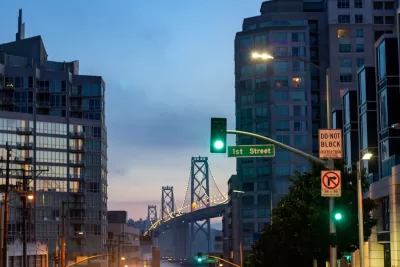
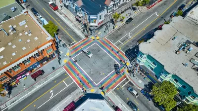
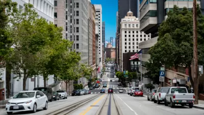
A proposal to prohibit turns on red at some downtown intersections prompted calls for a blanket ban for the entire city.

The San Francisco Municipal Transportation Agency Board of Directors declined to act on a proposal that would have banned right turns on red at roughly 200 downtown intersections, instead calling for agency officials to implement the policy citywide.
According to a CBS News article, SFMTA engineer Ricardo Olea says a blanket ban could “create a shock to the system” for drivers. “Olea said the idea behind the two-thirds proposal was to make San Francisco's northeast quadrant into a ‘center of gravity’ where drivers could get used to not making turns on red lights, before expanding outward.” Restricting turns at all intersections could lead to backlash from drivers at intersections with little pedestrian traffic where right turns could be made safely, Olea noted.
Three Directors disagreed, asking if “Creating a whole paradigm shift might be easier than relying on drivers reading signs each time they pulled up to an intersection, especially with the number of signs alongside San Fransisco roadways.” Other advocates at a public meeting focused on pedestrians and bicyclists, who can make safer decisions if they know drivers will make a right turn on red or not. “Improving the walkability of streets, more so than the safety of them, has driven San Francisco's push for right on red bans, according to a staff memo from ahead of the meeting.”
FULL STORY: SFMTA officials pause on right-on-red proposal, consider citywide ban

Planetizen Federal Action Tracker
A weekly monitor of how Trump’s orders and actions are impacting planners and planning in America.

Maui's Vacation Rental Debate Turns Ugly
Verbal attacks, misinformation campaigns and fistfights plague a high-stakes debate to convert thousands of vacation rentals into long-term housing.

Restaurant Patios Were a Pandemic Win — Why Were They so Hard to Keep?
Social distancing requirements and changes in travel patterns prompted cities to pilot new uses for street and sidewalk space. Then it got complicated.

In California Battle of Housing vs. Environment, Housing Just Won
A new state law significantly limits the power of CEQA, an environmental review law that served as a powerful tool for blocking new development.

Boulder Eliminates Parking Minimums Citywide
Officials estimate the cost of building a single underground parking space at up to $100,000.

Orange County, Florida Adopts Largest US “Sprawl Repair” Code
The ‘Orange Code’ seeks to rectify decades of sprawl-inducing, car-oriented development.
Urban Design for Planners 1: Software Tools
This six-course series explores essential urban design concepts using open source software and equips planners with the tools they need to participate fully in the urban design process.
Planning for Universal Design
Learn the tools for implementing Universal Design in planning regulations.
Heyer Gruel & Associates PA
JM Goldson LLC
Custer County Colorado
City of Camden Redevelopment Agency
City of Astoria
Transportation Research & Education Center (TREC) at Portland State University
Jefferson Parish Government
Camden Redevelopment Agency
City of Claremont


