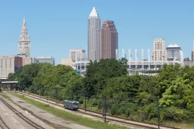
The Greater Cleveland Regional Transit Authority is partnering with local governments and nonprofits to create new transit options for the thousands of workers flocking to the region’s new job centers.

As small towns in northeastern Ohio grow and gain major employment centers that require transportation for growing numbers of workers, “local nonprofits and transit agencies are trying their hand at developing smaller, individual solutions to solve this big problem.”
As Conor Morris reports for WKSU, “The GCRTA [Greater Cleveland Regional Transit Authority] recently redesigned its services to try to improve riders’ connections to work, but there’s only so much that traditional fixed routes can do to get people to every single job center out there. Because of that, Maribeth Feke, director of programming and planning for GCRTA, said her agency is piloting a new ‘micro mobility’ program called ConnectWorkS that could serve as a model for future efforts to get people to jobs at industrial centers through public transit.”
ConnectWorkS has two major components. The first is a “partnership with the village of Mayfield and the city of Highland Heights to provide a new bus route that connects the end of the #7A RTA bus line to a new bus loop” and will serve an estimated 12,000 workers. “The other part of the ConnectWorkS pilot involves the GCRTA working with SHARE Mobility, a rideshare service, to provide workers in the Bedford Heights and Solon area with a quick connection to their jobs once they get off public transit.”
According to Morris, “While ConnectWorkS is just getting off the ground, Feke said she was excited about its potential. Between the two pilots, the GCRTA will be hitting ‘a third of the high job centers’ in the county. She said the point is to address what some advocates call the first- or last-mile issue, where workers can get close to work through public transit, but still face a long walk after they get off the bus or train.”
FULL STORY: How Northeast Ohio communities are building small transit solutions to solve big issue of sprawl

Planetizen Federal Action Tracker
A weekly monitor of how Trump’s orders and actions are impacting planners and planning in America.

Map: Where Senate Republicans Want to Sell Your Public Lands
For public land advocates, the Senate Republicans’ proposal to sell millions of acres of public land in the West is “the biggest fight of their careers.”

Restaurant Patios Were a Pandemic Win — Why Were They so Hard to Keep?
Social distancing requirements and changes in travel patterns prompted cities to pilot new uses for street and sidewalk space. Then it got complicated.

Platform Pilsner: Vancouver Transit Agency Releases... a Beer?
TransLink will receive a portion of every sale of the four-pack.

Toronto Weighs Cheaper Transit, Parking Hikes for Major Events
Special event rates would take effect during large festivals, sports games and concerts to ‘discourage driving, manage congestion and free up space for transit.”

Berlin to Consider Car-Free Zone Larger Than Manhattan
The area bound by the 22-mile Ringbahn would still allow 12 uses of a private automobile per year per person, and several other exemptions.
Urban Design for Planners 1: Software Tools
This six-course series explores essential urban design concepts using open source software and equips planners with the tools they need to participate fully in the urban design process.
Planning for Universal Design
Learn the tools for implementing Universal Design in planning regulations.
Heyer Gruel & Associates PA
JM Goldson LLC
Custer County Colorado
City of Camden Redevelopment Agency
City of Astoria
Transportation Research & Education Center (TREC) at Portland State University
Camden Redevelopment Agency
City of Claremont
Municipality of Princeton (NJ)


