Technology
Mapping NYC’s Taxi Redundancies
MIT’s Senseable City Lab produced a beautiful visualization of every taxi ride taken in New York City in 2011. More valuable than the pretty pictures, however, are the insights the data provide about creating a more efficient transportation system.
Evaluating the Growth of Transportation Network Companies like Uber and Lyft
Transportation network companies like Uber, Lyft, and Sidecar are growing quickly. A recent article examines the potential of such networks to build new efficiencies into urban transportation, as well as some of the risks to that potential.
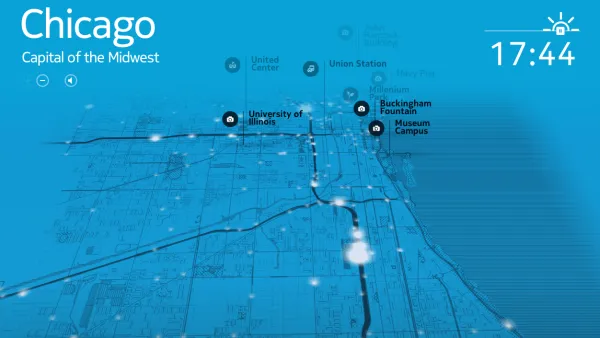
Seven Apps to Improve Quality of Life in Cities
It’s no secret that more and more people are using smart phones to get the most out of their urban experiences—at home or while traveling. Guardian Cities lists some of the best urban apps and launches a contest to find the best apps worldwide.
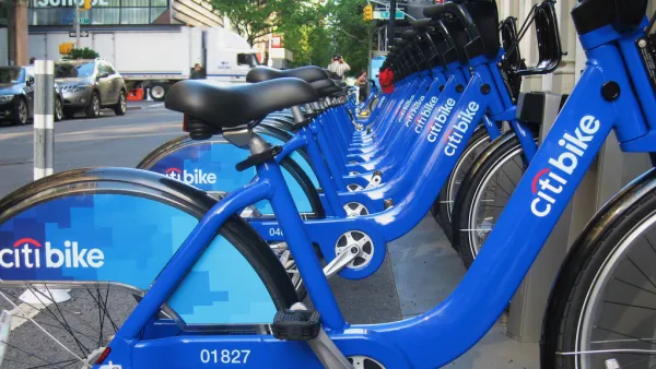
How Smart Cities Encourage Citizen Engagement
The extent to which cities will build data collection systems into the infrastructure—or how much we’ll voluntarily gather and share information from our smartphones—has yet to be determined. Here is a survey of what some cities have launched so far.
Can OpenStreetMap Overthrow the Google Maps Hegemony?
A recent long-read describes the current state of the competition for primacy in the world of online mapping tools. The champ—Google Maps. The challenger—OpenStreetMap.
Oil and Water: Connected Cars and Privacy
Jeremy Cato pens an editorial on the dark side of connected cars—the data necessary to track and integrate so many card will allow unprecedented invasions of privacy.
Exploring Architecture with Oscar-Nominated Director Steve McQueen
Many filmmakers are concerned with set making, but not architecture. Steve McQueen, Best Director nominee for 12 Years a Slave (which is also nominated for Best Picture) has made a career of examining the role of architecture in building narrative.
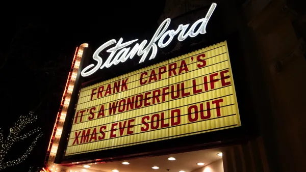
Ranking the Top Movies About Urbanism
The Oscars are this weekend, so its an appropriate time to turn to movie magic as a powerful force for how American’s perceive environments—from rural to urban and everything between.
Music to the Subway Rider’s Ears
James Murphy has composed a “Subway Symphony”—a unique set of notes for each station in NYC’s Metro system that would sound when users swipe their fare cards. “The busier a station becomes, the richer the harmonies would be.”
The Dark Side of Big Data
In a long read for Metropolis Magazine, Alex Marshall describes the implications of the “Smart City” movement, including the risk of turning over massive data collection operations to large corporations.
New Google Mobile Device Creates 3D Maps
Google's Advanced Technology And Projects (ATAP) group has released information about the new Project Tango—a mobile device that tracks 3D motion, using the data to map user environments.
Shipping Container Farms Save Water, Enable Year-Round Growth
Shipping container houses are all the rage right now. So why not a shipping container farm?
Driverless Cars: A Boon to the Federal Budget?
The federal government is notorious for putting off road improvements. The good news? If driverless cars become a reality, they can keep putting them off—forever.
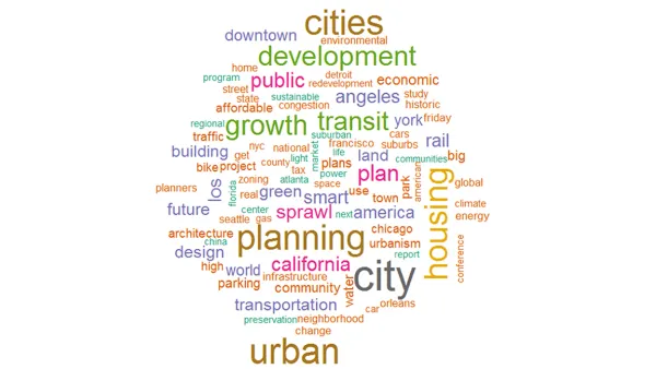
What Is Popular Planning? 13 Years of Planetizen
A chronicle of the evolution of popular planning, drawn from data collected from the long history of Planetizen as a forum for discussion and reporting.

For or Against Smart Cities: Where Should Planners Stand?
Are we using technology to plan for utopias? Or are we luddites who are ignoring an inevitable future? Should we be for our against smart cities? Two recent books take on this debate.
Obama's Directive to EPA: Trucks to Get Leaner
Over strong objections from some auto and truck manufacturers, President Obama directed EPA to develop new fuel efficiency regulations for medium and heavy-duty trucks by March 2016 as part of his administration's effort to reduce carbon emissions.
Using Public Surveillance to Track Pedestrian Congestion
A startup called Placemeter is using public surveillance to track pedestrian traffic in New York City to provide real time information about wait times at services and facilities around the city.
4 Steps to Highly Engaging Plan Documents
Plan documents tend to be static, long, and—let's face it—boring. See how three planning organizations started thinking outside the PDF box to encourage more informed citizen participation.
New Study Claims Airbnb Is Fudging Its Numbers
Airbnb, arguably the most famous symbol of the sharing economy, has a court date with the New York State Attorney General in March. Meanwhile, a new report has evidence that Airbnb is fudging its numbers relevant to a key issue in the case.
Google's Next Futuristic Setting: A Giant NASA Hangar in Mountain View
Google buses, Google ferries, and now, a Google hangar.

FREE Course: Walkable City 1: Why Walkability?
After describing his path towards focusing on walkability as the essence of good planning, Jeff Speck marches through his five principal reasons for making more walkable places.
Reinventing Malls: Planning Alchemy—Turning Gray Fields Into Gold
The course focuses on the opportunities and imperatives that shape reinvention of mall sites.

City of Rosemead
Rutgers University, Edward J. Bloustein School of Planning and Public Policy
One Hundred Miles
University of Michigan School for Environment and Sustainability (SEAS)
Hunter College, City University of New York (CUNY)
The Architects Foundation
City of Cambridge
Montrose County
The Pocatello Development Authority