A writer weaves a "decade by decade" story, complete with diagrams, of how not to manage a public transit system.


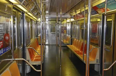
At CityLab, Jonathan English uses both text and diagram to trace "[t]hree broad lines of history" that explain how the New York City subway went from an impressive feat of infrastructure building—hundreds of miles were built between 1904 and 1920—to a beleaguered system that opened no more than a few extensions over the last 80 years.
“The first is the postwar lure of the suburbs and the automobile—the embodiment of modernity in its day. The second is the interminable battles of control between the city and the private transit companies, and between the city and the state government. The third is the treadmill created by rising costs and the buildup of deferred maintenance—an ever-expanding maintenance backlog that eventually consumed any funds made available for expansion.”
Last summer, after a derailment, Governor Andrew Cuomo declared the subway to be in a state of emergency, though he was subsequently slow to release a plan. Since then much has been written about the enormous task of restoring the system to a good working order, and the absolute importance of doing so.
FULL STORY: Why New York City Stopped Building Subways

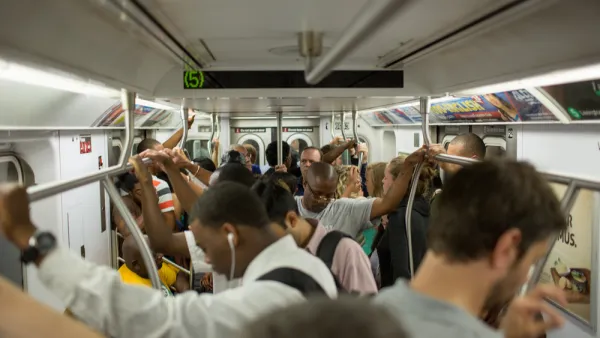
Regardless of Cost, New York Must Rehabilitate its Crown Jewel: the Subway
Depending on what's included, the cost to rebuild the ailing 665-mile system could be $111 billion, but the city's future depends on it. A feature-length New York Times Magazine piece looks at its history and suggests ways to finance rebuilding.
A Strong Voice of Support for Value Capture to Fund Subway Repair
In an opinion for City & State, Kathryn Wylde, president of the nonprofit Partnership for New York City, makes the case that the Metropolitan Transportation Authority should be allowed to tax properties where value is enhanced by subway proximity.
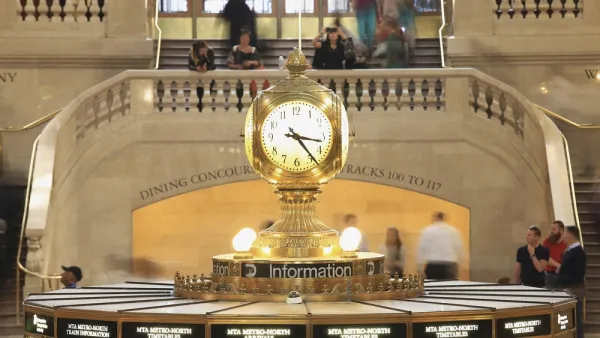
Gov. Cuomo Promised a Plan to Fix the New York Subway; Critics Say it's MIA
Earlier this summer, the governor of New York promised an ambitious plan to fix the MTA subway system. Now, at the end of the promised timeline for that plan, critics are saying that the city is left with more of the same.

Planetizen Federal Action Tracker
A weekly monitor of how Trump’s orders and actions are impacting planners and planning in America.

The state-sanctioned urbicide of Austin
People don’t kill cities. Freeways do.

US to reduce Colorado River water deliveries to Mexico
A new Colorado Treaty amendment reduces Mexico’s Colorado River water allocation by 250,000 acre feet.

Mamdani overhauls NYC's Vision Zero plan with 100 new policy goals
The overhaul aims to reduce traffic deaths and make streets safer for pedestrians, cyclists and drivers through lower speed limits, new safety infrastructure and more.

Amtrak not solely to blame for New Jersey commuter rail's unreliability, report finds
A new study from the Garden State Initiative found that NJ Transit’s budget grew 20% across a 4 year period, but reliability declined significantly over the same period.

EPA erases limits on planet-warming pollution from power plants
Under Monday’s plan, power plants would still have some limits on how much mercury, arsenic and other contaminants they can emit.

FREE Course: Walkable City 1: Why Walkability?
After describing his path towards focusing on walkability as the essence of good planning, Jeff Speck marches through his five principal reasons for making more walkable places.
Reinventing Malls: Planning Alchemy—Turning Gray Fields Into Gold
The course focuses on the opportunities and imperatives that shape reinvention of mall sites.

Eagle County Government
Harvard University Graduate School of Design
Nashville Planning Department
The Architects Foundation
University of Cincinnati Online
The Pocatello Development Authority
The Urban Renewal Agency of the City of Pocatello
Journal of the American Planning Association