Officials have begun tackling the problem of adapting low-lying State Route 37 in the North Bay, closed several times this year due to flooding, to climate change. With no identified funding, a working group is leaning toward road tolling.


On April 28, Gov. Jerry Brown signed a $52 billion transportation funding plan based on a the largest gas tax increase in state history, but with no funds earmarked for repairing Highway 37, one of the lowest-lying highways and most threatened by climate change and sea level rise in California.


Credit: Wikipedia: San Pablo Bay, shown with San Francisco Bay
"A fee-based future appears to be gaining traction with a key advisory group tasked with long-term solutions for traffic and flooding on the heavily traversed 21-mile highway from Vallejo [Solano County] to Novato [Marin County]," reports Derek Moore for The Press Democrat.
“I think everyone acknowledges there’s few options other than tolls to generate revenue needed to do a project of that scale in that location,” said Sonoma County Supervisor David Rabbitt, chairman of the Highway 37 Policy Committee.
"The State Route 37 Policy Committee is a multi-county committee with policy makers participating from Marin, Napa, Sonoma and Solano counties," notes the Transportation Authority of Marin.
The SR 37 Policy Committee was formed in 2015 as part of a Memorandum of Understanding (pdf) to discuss joint county efforts in improving the SR 37 Corridor to address sea level rise, traffic congestions, transit options and recreational activities.
A January Press-Democrat editorial warned that the flooding of the roadway "could be a glimpse of what climate change and rising sea levels have in store for the North Bay."
Moore reports on a meeting [pdf] held May 4 by the policy committee
"A consultant hired by the policy group to address options for Highway 37 improvements — ranging from building a seawall to an elevated causeway — said paying for the work boils down to charging tolls or waiting for Caltrans to identify funding for the work," writes Moore. That could be as late as 2088, noted one committee member.
By contrast, such work could be completed in as little as eight years by charging tolls and by public agencies partnering with private companies [i.e., a public-private partnership] on construction, according to José Luis Moscovich, executive vice-president of Project Finance Advisory Limited, a San Francisco-based consultancy.
“What you have is the possibility of breaking loose from the normal constraints in terms of funding a transportation project in the state,” Moscovich said.
One tolling option would have the state relinquish the right-of-way to a private investment firm "which would fund the construction and charge a toll to recoup its cost." Moore writes about the skepticism expressed by some committee members on pursuing this route.
A report from the Sierra Club's Redwood Chapter indicates that tolls are likely, "with some of the money generated [used] to subsidize [commuter] van services." They express support for tolling and transit options in the corridor.
FULL STORY: Bay Area officials eye future tolls as way to upgrade troubled Highway 37

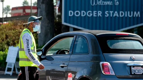
'By the Numbers': California Shows How to Reopen Safely
Unlike other states that lifted restrictions statewide after coronavirus cases plummeted, California replaced its regional stay-home order with a county-based blueprint, permitting counties to advance based on performance in three health metrics.
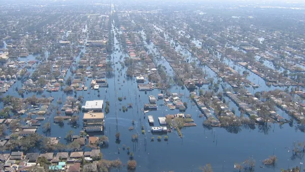
Homeland Security Advisor Recognizes Effects of Climate Change, Ignores Causes
In response to a question linking Hurricanes Irma and Harvey to climate change, White House Homeland Security Advisor Tom Bossert appeared to recognize the need to adapt. He qualified his statement regarding the "cause" of said climate change.
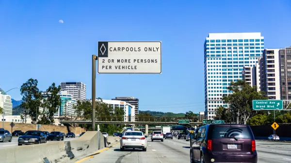
Another Reminder of the Futility of Carpool Lanes
What's the great 'fix' for the flawed Highway 101 carpool lanes in Marin and Sonoma counties in the Bay Area? Reduce the HOV time by two and a half hours during the peak commutes to enable solo drivers greater access to 52 miles of widened freeway.

The state-sanctioned urbicide of Austin
People don’t kill cities. Freeways do.

US to reduce Colorado River water deliveries to Mexico
A new Colorado Treaty amendment reduces Mexico’s Colorado River water allocation by 250,000 acre feet.

New Jersey’s second-largest city bans standalone data centers
Jersey City will continue to allow co-location facilities, such as those meant for research institutions that store their own data.

Amtrak not solely to blame for New Jersey commuter rail's unreliability, report finds
A new study from the Garden State Initiative found that NJ Transit’s budget grew 20% across a 4 year period, but reliability declined significantly over the same period.

EPA erases limits on planet-warming pollution from power plants
Under Monday’s plan, power plants would still have some limits on how much mercury, arsenic and other contaminants they can emit.

Phoenix announces new on-demand transit service, more frequent RAPID buses
Both new services will launch in October, and are part of Phoenix's Project Effective Access Solutions for Easing Congestion.

FREE Course: Walkable City 1: Why Walkability?
After describing his path towards focusing on walkability as the essence of good planning, Jeff Speck marches through his five principal reasons for making more walkable places.
Reinventing Malls: Planning Alchemy—Turning Gray Fields Into Gold
The course focuses on the opportunities and imperatives that shape reinvention of mall sites.

Eagle County Government
Harvard University Graduate School of Design
Nashville Planning Department
The Architects Foundation
University of Cincinnati Online
The Pocatello Development Authority
The Urban Renewal Agency of the City of Pocatello
Journal of the American Planning Association