In an ambitious plan dating back to the early 20th century, some Chicagoans want to build out park space over Lake Shore Drive's Oak Street S-bend. The project wouldn't be a straightforward one.


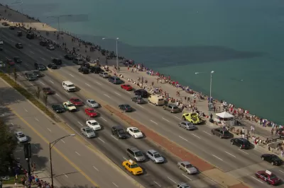
Chicago's Lake Shore Drive, one example of America's many waterside urban thoroughfares, just might find itself tunneling under 70 acres of new park space. 2nd Ward Alderman Brian Hopkins, among others, is championing a plan to redo the roadway as it curves past Oak Street Beach just north of downtown.
Jay Koziarz writes, "At its heart, the plan would straighten out and bury Lake Shore Drive's tight and dangerous Oak Street S-bend and would provide unfettered pedestrian access to 70 acres of newly created lakefront parkland, beaches, trails, and a breakwater island."
This is far from a done deal. The proposal is expensive and construction wouldn't likely begin until 2020. "With a price tag reaching as high as $500 million, the project would be hugely expensive and would require the cooperation of multiple local, state, and federal entities like the various Departments of Transportation and the United States Army Corps of Engineers."
FULL STORY: A look at the ambitious plan to bury Chicago’s Lake Shore Drive and create new park space

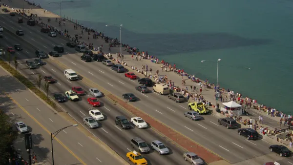
Bus Lanes, Desired by Advocates for Chicago's Lake Shore Drive Project, Back on the Table
After releasing a list of project alternatives that didn't include new bus lanes in the existing roadway, the Illinois Department of Transportation (IDOT) has changed its mind.
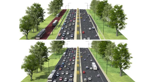
North Lake Shore Drive Redo Falls Short of Bus Priority Expectations
Strong criticisms of the project alternatives under consideration by the Illinois Department of Transportation for the closely watched North Lake Shore Drive project.
Lake Shore Drive Proposal Inspires Debate
Take a car lane or widen Lake Shore Drive? That's the question facing state and local officials in Chicago.

Planetizen Federal Action Tracker
A weekly monitor of how Trump’s orders and actions are impacting planners and planning in America.

The state-sanctioned urbicide of Austin
People don’t kill cities. Freeways do.

US to reduce Colorado River water deliveries to Mexico
A new Colorado Treaty amendment reduces Mexico’s Colorado River water allocation by 250,000 acre feet.

Mamdani overhauls NYC's Vision Zero plan with 100 new policy goals
The overhaul aims to reduce traffic deaths and make streets safer for pedestrians, cyclists and drivers through lower speed limits, new safety infrastructure and more.

Amtrak not solely to blame for New Jersey commuter rail's unreliability, report finds
A new study from the Garden State Initiative found that NJ Transit’s budget grew 20% across a 4 year period, but reliability declined significantly over the same period.

EPA erases limits on planet-warming pollution from power plants
Under Monday’s plan, power plants would still have some limits on how much mercury, arsenic and other contaminants they can emit.

FREE Course: Walkable City 1: Why Walkability?
After describing his path towards focusing on walkability as the essence of good planning, Jeff Speck marches through his five principal reasons for making more walkable places.
Reinventing Malls: Planning Alchemy—Turning Gray Fields Into Gold
The course focuses on the opportunities and imperatives that shape reinvention of mall sites.

Eagle County Government
Harvard University Graduate School of Design
Nashville Planning Department
The Architects Foundation
University of Cincinnati Online
The Pocatello Development Authority
The Urban Renewal Agency of the City of Pocatello
Journal of the American Planning Association