The Red River Diversion project, also known as the Fargo-Moorhead Flood Risk Management project, has full federal approval but was recently denied a critical permit by the state. This op-ed questions the wisdom of the state's action.


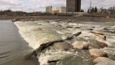
Nick Sortland opines about the Red River Diversion, "a project designed by the Army Corps of Engineers’ St. Paul office, funded by Congress and signed off by the Obama administration to allow the Fargo metropolitan area permanent flood protection from the increasingly unpredictable Red River."
According to Sortland, climate change has led to extreme and unpredictable flooding on the Red River, precipitating the need for the diversion project in and around the city. The diversion channel, according to Sortland, would also wall off the footprint for Fargo's potential sprawl.
Despite the federal approvals and the environmental case for the project, however, the Minnesota Department of Natural Resources denied a permit application for the proposed project, which it calls the Fargo-Moorhead Flood Risk Management project. The state cited three primary reasons for the denial:
- Because the land protected would rural and sparsely developed, the "project does not meet the requirement to be reasonable, practical, protect public safety and promote public welfare."
- "The project is not consistent with some state and local land use and water management plans in the project area."
- "Mitigation, monitoring and adaptive management needs remain that have not been sufficiently addressed."
Returning to the original argument in favor of the project, Sortland claims that historic precedent, climate change science, and the area's ongoing growth demand that the project move forward.
Read the full story: Why Minnesota should support, not obstruct, Fargo-Moorhead’s permanent flood protection
Miami Lets Developers Buy Double Density with Climate Fund Contributions
City officials are close to passing a law that would give major density bonuses to developers in exchange for funding for seawalls, pump stations, and other climate resilience projects.
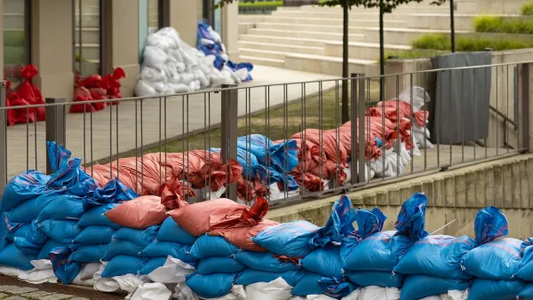
How US Communities Are Building Resilience Against Flooding
Flooding causes over $400 billion in damage in the United States every year.
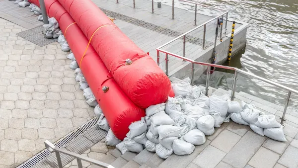
Planning for Future Floods
New climate and flood models are needed to understand growing flood risks.

Planetizen Federal Action Tracker
A weekly monitor of how Trump’s orders and actions are impacting planners and planning in America.

Eastern Nebraska is running out of electricity
Data centers and electrification are straining eastern Nebraska’s grid, throttling economic development.
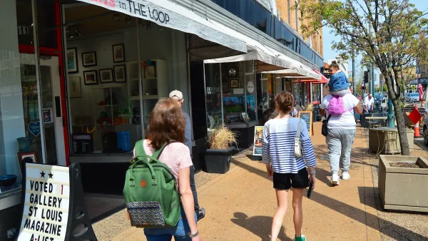
Move over, LA: St. Louis gears up for Olympics, invests millions in downtown redevelopment
The Missouri city will host the 2028 Olympic soccer group stage and knockout matches.

Dallas releases zoning code overhaul to officials
The drafted overhaul is over 400 pages long.

NYC renovations for dangerous, ‘mercilessly crammed’ street delayed until 2027
Construction was supposed to begin this fall.

San Diego’s Midway Rising project gets greenlight from city council
The project looks to become the largest affordable housing development in California's history.

FREE Course: Walkable City 1: Why Walkability?
After describing his path towards focusing on walkability as the essence of good planning, Jeff Speck marches through his five principal reasons for making more walkable places.
Reinventing Malls: Planning Alchemy—Turning Gray Fields Into Gold
The course focuses on the opportunities and imperatives that shape reinvention of mall sites.

City of Rosemead
Rutgers University, Edward J. Bloustein School of Planning and Public Policy
One Hundred Miles
University of Michigan School for Environment and Sustainability (SEAS)
Hunter College, City University of New York (CUNY)
The Architects Foundation
City of Cambridge
The Pocatello Development Authority
The Urban Renewal Agency of the City of Pocatello