A post on the Rivard Report details the efforts underway in San Antonio, Texas, to reduce traffic fatalities.


Mike Frisbie shares the progress of the city of San Antonio toward its Vision Zero goals, as established in September 2015.
Already, the city has begun implementation of its Vision Zero goals with the following actions:
Program enhancements have included $1 million toward pedestrian safety improvements for school zone upgrades and pavement markings in 2015, plus an additional $1 million for school zones in 2016. $15 million was allocated in 2016 to add new sidewalks, $10 million more than the typical budget amount of $5 million. Innovative tools such as overhead pedestrian flashing signals have been installed city wide, and Z-Crossings on streets such as Broadway, Culebra, and Commerce are also being constructed to further enhance pedestrian safety.
The article also includes all the key links to dig into the entire package of Vision Zero efforts by the city of San Antonio.
Read the full story: Commentary: City Makes Strides Toward Vision Zero

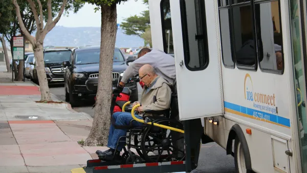
Seniors Account for 32% of Traffic Deaths in the Bay Area
Road safety interventions would help protect seniors and other vulnerable groups from traffic violence.
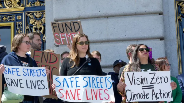
San Francisco Cut Traffic Deaths Almost in Half in 2025
The city credits its Vision Zero strategy and new traffic cameras for reducing the number of deaths and serious injuries on its roads.
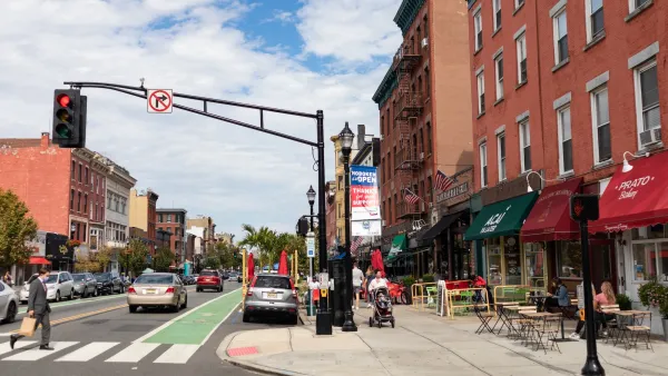
After 30% Spike in 2024, New Jersey Traffic Deaths Drop by 15% in 2025
New Jersey launched the nation’s first statewide Vision Zero plan last year.

Planetizen Federal Action Tracker
A weekly monitor of how Trump’s orders and actions are impacting planners and planning in America.

The state-sanctioned urbicide of Austin
People don’t kill cities. Freeways do.

US to reduce Colorado River water deliveries to Mexico
A new Colorado Treaty amendment reduces Mexico’s Colorado River water allocation by 250,000 acre feet.

Brightline West’s future may rely on $6 billion federal loan
The company has until Nov. 2 to make a $400 million equity investment into its proposed high-speed rail line.

LA Metro’s ultimatum: no extra buses for LA28 if federal funding isn’t imminently secured
If Metro does not provide additional buses, LA28 organizers will have to find a new way to manage Olympic traffic. LA28’s budget does not include a line item for transit.

Colorado’s Largest Data Center Could Rise Next to Homes — Without a Public Hearing
The proposed campus would consume 11 times the power of Denver International Airport; as it has across the country, opposition mounts.

FREE Course: Walkable City 1: Why Walkability?
After describing his path towards focusing on walkability as the essence of good planning, Jeff Speck marches through his five principal reasons for making more walkable places.
Reinventing Malls: Planning Alchemy—Turning Gray Fields Into Gold
The course focuses on the opportunities and imperatives that shape reinvention of mall sites.

Eagle County Government
Harvard University Graduate School of Design
Nashville Planning Department
The Architects Foundation
University of Cincinnati Online
The Pocatello Development Authority
The Urban Renewal Agency of the City of Pocatello
Journal of the American Planning Association