


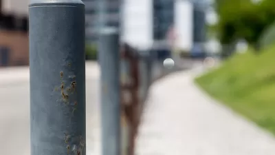
A post for Greater Greater Washington details the ongoing conversation about how to improve pedestrian safety around Grant Circle.
"Many people in Petworth lament how dangerous it is to cross the street and get to Grant Circle, one of their neighborhood parks. DDOT has an initial plan for addressing the problem, but pedestrian advocates say the real way to make the circle safer is to make the streets narrower and add more crosswalks," according to a post by Kelly Blynn.
Grant Circle, like other circles in Washington, D.C., has conflicting priorities: it's designed to "[invite] people to use the interior space as a park but, more recently, has made moving traffic between its several intersections a major priority."
Blynn goes onto examine the current condition of the circle; the District Department of Transportation's plans for making it safer for pedestrians to access the circle, as part of the 2009 Pedestrian Master Plan [pdf]; and proposals by the local advocacy group All Walks DC to go even further to improve safety around the circle.
FULL STORY: Petworth residents say changes to a dangerous traffic circle should go further


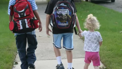
Pedestrian Activity Increased Most Outside of Cities in 2020
The locations with the largest increases of pedestrian activity during the pandemic year are all in Florida.
Opinion: 'Performative' Pedestrian Improvements Need Deeper Scrutiny
Minor pedestrian-oriented improvements alone won't improve walkability if infrastructure still prioritizes fast-moving vehicles, according to this article.
'Pedestrians First' Measures Walkability for Babies, Toddlers, Caregivers, Everyone
The ITDP's new Pedestrians First tool describes why and how to improve walking conditions, and provides comprehensive analysis of walkability for 1000 cities.

Planetizen Federal Action Tracker
A weekly monitor of how Trump’s orders and actions are impacting planners and planning in America.

Map: Where Senate Republicans Want to Sell Your Public Lands
For public land advocates, the Senate Republicans’ proposal to sell millions of acres of public land in the West is “the biggest fight of their careers.”

Restaurant Patios Were a Pandemic Win — Why Were They so Hard to Keep?
Social distancing requirements and changes in travel patterns prompted cities to pilot new uses for street and sidewalk space. Then it got complicated.

Platform Pilsner: Vancouver Transit Agency Releases... a Beer?
TransLink will receive a portion of every sale of the four-pack.

Toronto Weighs Cheaper Transit, Parking Hikes for Major Events
Special event rates would take effect during large festivals, sports games and concerts to ‘discourage driving, manage congestion and free up space for transit.”

Berlin to Consider Car-Free Zone Larger Than Manhattan
The area bound by the 22-mile Ringbahn would still allow 12 uses of a private automobile per year per person, and several other exemptions.
Urban Design for Planners 1: Software Tools
This six-course series explores essential urban design concepts using open source software and equips planners with the tools they need to participate fully in the urban design process.
Planning for Universal Design
Learn the tools for implementing Universal Design in planning regulations.
Heyer Gruel & Associates PA
JM Goldson LLC
Custer County Colorado
City of Camden Redevelopment Agency
City of Astoria
Transportation Research & Education Center (TREC) at Portland State University
Camden Redevelopment Agency
City of Claremont
Municipality of Princeton (NJ)