By some measures, Seattle's geography makes other cramped cities like Boston and San Francisco seem positively agoraphobic. New Transportation Director Scott Kubly has vowed to keep Seattleites moving through its many bottlenecks.


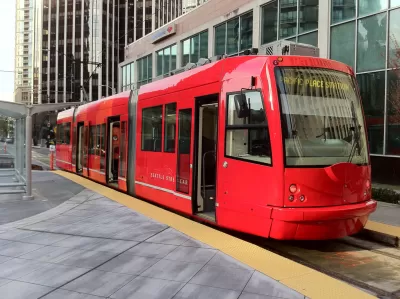
Few cities present such transportation challenges as Seattle does. With the center city booming over the past decade, thanks in part to the tech industry, demands on downtown infrastructure grow by the day. Unfortunately, according to some, the city's infrastructure is a good decade or two out of date (with less rail than in similar cities), creating insane bottlenecks that are exacerbated by the city's unique layout.
"Part of the problem is simple geography. Seattle is sandwiched between Puget Sound and Lake Washington, and pinched by other lakes and water bodies as well. North-south travel bottlenecks at a handful of bridges, as does any travel to suburbs to the east. (To go west, you’ll have to take a ferry, which creates its own set of challenges.)"
Seattle would seem to be the perfect place for light rail and active transportation, especially because of the city's enthusiastic environmental community, but funding challenges and other opposition have hindered efforts to develop multi-modal transportation. In fact, automobile advocates rose up recently to claim that the city's nascent efforts to promote modes like bike sharing represent a "war on cars." Never mind that fewer cars on the road make things better for those who do drive.
Entering into the fray is the city's new transportation director, Scott Kubly.
"Under Kubly, the Seattle Department of Transportation (SDOT) has laid out an ambitious plan to overhaul the city’s streets. The plan, called Move Seattle, is remarkable in many ways, but none more than this: While it includes maintenance and repair of existing roads, and upgrading bridges to make them earthquake-safe, there are virtually no new accommodations for cars. Instead, it is a plan to more efficiently move people around the city by bus, transit, bike, and on foot."
Read the full story: Seattle’s smart plan to remake its streets
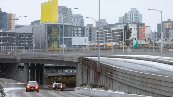
Residents Call for Highway Removal in Seattle Neighborhood
As more planners begin to question the value of urban freeways, communities that have long borne the negative impacts of highway construction are fighting back with data.

Seattle Neighborhood Calls for Highway Removal
South Park becomes the latest community to call for the removal of a highway segment that has cut off the neighborhood from local amenities for decades.
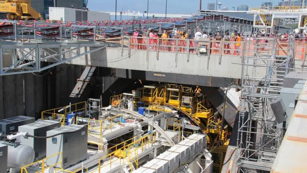
Bertha Finally Breaks On Through (To the Other Side)
The Bertha tunnel boring machine was once stuck under the city of Seattle for more than a year. Now it has reached its goal, four years after it began its journey.

Planetizen Federal Action Tracker
A weekly monitor of how Trump’s orders and actions are impacting planners and planning in America.

Eastern Nebraska is running out of electricity
Data centers and electrification are straining eastern Nebraska’s grid, throttling economic development.
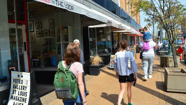
Move over, LA: St. Louis gears up for Olympics, invests millions in downtown redevelopment
The Missouri city will host the 2028 Olympic soccer group stage and knockout matches.

Dallas releases zoning code overhaul to officials
The drafted overhaul is over 400 pages long.

NYC renovations for dangerous, ‘mercilessly crammed’ street delayed until 2027
Construction was supposed to begin this fall.

San Diego’s Midway Rising project gets greenlight from city council
The project looks to become the largest affordable housing development in California's history.

FREE Course: Walkable City 1: Why Walkability?
After describing his path towards focusing on walkability as the essence of good planning, Jeff Speck marches through his five principal reasons for making more walkable places.
Reinventing Malls: Planning Alchemy—Turning Gray Fields Into Gold
The course focuses on the opportunities and imperatives that shape reinvention of mall sites.

City of Rosemead
Rutgers University, Edward J. Bloustein School of Planning and Public Policy
One Hundred Miles
University of Michigan School for Environment and Sustainability (SEAS)
Hunter College, City University of New York (CUNY)
The Architects Foundation
City of Cambridge
The Pocatello Development Authority
The Urban Renewal Agency of the City of Pocatello