


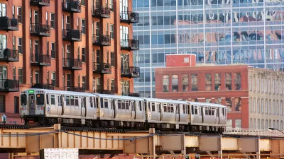
After an initial proposal a year ago, prompting immediate and strong criticism, the Chicago Transit Authority has completed its environmental assessment of a proposal designed to improve service capacity at the infamous bottleneck of Clark Junction.
"The Chicago Transit Authority today issued a ringing defense of its $570 million plan to boost el capacity on crowded North Side tracks by building a huge bridge where Red, Purple and Brown line tracks now converge at Clark Street," reports Greg Hinz.
After exploring and rejecting several other alternatives, "the CTA said the plan to have northbound Brown Line tracks swing above other tracks is the best feasible alternative and will allow it to carry an additional 7,200 riders an hour through a junction that now is at capacity."
Though the environmental assessment made clear its preference for the flyover, the plan is still unfunded and expected to provoke strong opposition. The proposal requires removing 16 buildings and "plopping what amounts to a highway-like towering structure right in the middle of a residential neighborhood," according to Hinz.
The CTA Red-Purple Bypass project, as it's called, was first announced in April 2014. Architecture critic Blair Kamin produced a pointed critique of the proposal shortly after.
FULL STORY: CTA issues strong defense of Red Line flyover plan

High Profile Opposition to Chicago Transit Authority's Flyover Project
A Pulitzer Prize-winning architecture critic invokes the most influential planning battles in the country's history in critiquing the proposed Red-Purple Bypass Project sought by the Chicago Transit Authority and Mayor Rahm Emanuel.
Chicago Planning Flyover Fix for North Side El Lines
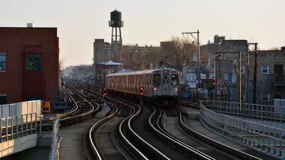
Fairly sizable funding contingencies still have to be resolved, but the so-called Red-Purple Bypass Project could increase rush hour capacity at a critical North Side junction by 30 percent.
Work Ready to Begin on $2.1 Billion Red and Purple Line Modernization in Chicago
The Chicago Transit Authority's largest-ever construction project, also one of its most controversial projects, will begin construction soon.

Planetizen Federal Action Tracker
A weekly monitor of how Trump’s orders and actions are impacting planners and planning in America.

Restaurant Patios Were a Pandemic Win — Why Were They so Hard to Keep?
Social distancing requirements and changes in travel patterns prompted cities to pilot new uses for street and sidewalk space. Then it got complicated.

Maui's Vacation Rental Debate Turns Ugly
Verbal attacks, misinformation campaigns and fistfights plague a high-stakes debate to convert thousands of vacation rentals into long-term housing.

In California Battle of Housing vs. Environment, Housing Just Won
A new state law significantly limits the power of CEQA, an environmental review law that served as a powerful tool for blocking new development.

Boulder Eliminates Parking Minimums Citywide
Officials estimate the cost of building a single underground parking space at up to $100,000.

Orange County, Florida Adopts Largest US “Sprawl Repair” Code
The ‘Orange Code’ seeks to rectify decades of sprawl-inducing, car-oriented development.
Urban Design for Planners 1: Software Tools
This six-course series explores essential urban design concepts using open source software and equips planners with the tools they need to participate fully in the urban design process.
Planning for Universal Design
Learn the tools for implementing Universal Design in planning regulations.
Heyer Gruel & Associates PA
JM Goldson LLC
Custer County Colorado
City of Camden Redevelopment Agency
City of Astoria
Transportation Research & Education Center (TREC) at Portland State University
Camden Redevelopment Agency
City of Claremont
Municipality of Princeton (NJ)