Located between San Francisco and the East Bay, with harrowing on- and off-ramps for ingress and egress to the Bay Bridge, Treasure Island will soon add 8,000 homes, 500 hotel rooms, and 550,000 square feet of offices.


Michael Cabantuan details the proposed and under-construction transportation improvements that will provide mobility for commuters and residents of the new Treasure Island, as well as preventing even more gridlock from shutting down the Bay Bridge:
- "New - and safer - on- and off-ramps to and from the bridge are under construction…"
- New ferry service to and from San Francisco is planned for 2018.
- Increased bus service on Muni and AC Transit is being scheduled.
- "The Bay Bridge eastern span bike path, which now terminates just past the suspension-span tower, is scheduled to make its way to Yerba Buena Island, which connects to Treasure Island, next summer."
- Also, "residents will have to buy transit passes - and drivers will be charged tolls not only to use the Bay Bridge, but also to enter or leave the island." Details of the toll still need to be worked out, but Cabanatuan details the possibilities under consideration.
Read the full story: Inside Treasure Island's transportation transformation

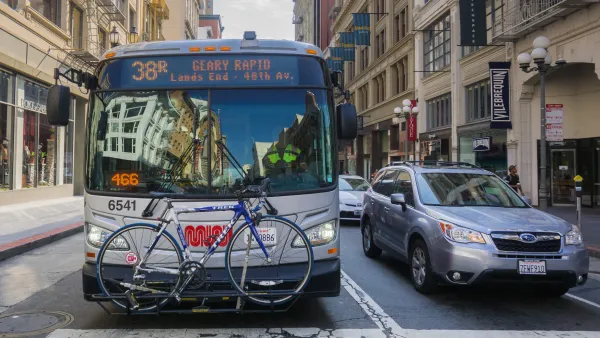
Strategies for Speeding Up Bus Service
A new report will highlight solutions for making bus service faster, more reliable, and thus more attractive to riders.
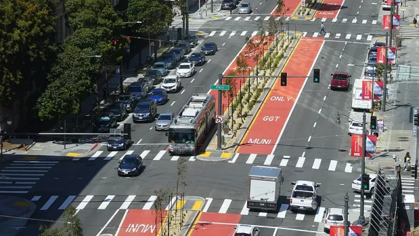
S.F. Accelerates Parking Removal at Bus Stops From 7 Years to 18 Months
Reviewing changes in bulk will make it easier for the Municipal Transportation Agency to remove parking around bus stops in San Francisco.

San Francisco Seeks Public Input on Post-Pandemic Muni Service
The SFMTA is considering a "high-access network" that would let people reach more destinations and increase frequency on some Muni lines.

Planetizen Federal Action Tracker
A weekly monitor of how Trump’s orders and actions are impacting planners and planning in America.
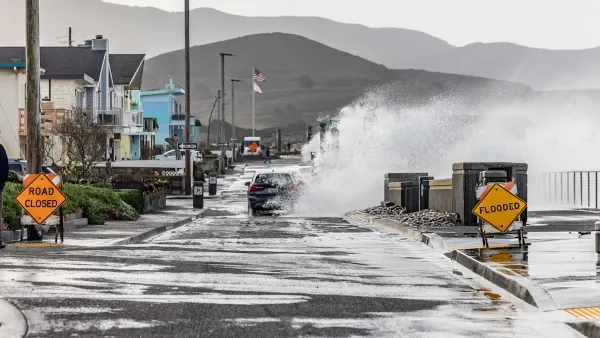
California plans to bury El Niño’s downpour
If the state plays its cards right, it may be able to store a billion acre-feet of El Niño’s water in aquifers.

Chicago breaks ground on $3 billion megadevelopment
The new neighborhood, titled Foundry Park, will one day host 3,700 residences.

California High-Speed Rail Authority CEO resigns after $600,000 scandal
Under Ian Choudri, the authority used taxpayer dollars to fund first class flights and trips to nightclubs.

Want to study the Missouri River? Soon, you may need unanimous approval from 10 states
Legislation would require 10 governors’ permission to study or build projects moving water outside the basin.

Desperate measures: Advocates weigh draining Lake Powell to fill Colorado River
Draining the reservoir could reduce evaporation losses by a couple hundred thousand acre-feet.

FREE Course: Walkable City 1: Why Walkability?
After describing his path towards focusing on walkability as the essence of good planning, Jeff Speck marches through his five principal reasons for making more walkable places.
Reinventing Malls: Planning Alchemy—Turning Gray Fields Into Gold
The course focuses on the opportunities and imperatives that shape reinvention of mall sites.

City of Rosemead
Rutgers University, Edward J. Bloustein School of Planning and Public Policy
One Hundred Miles
Hunter College, City University of New York (CUNY)
The Architects Foundation
University of Cincinnati Online
City of Cambridge
Montrose County
The Pocatello Development Authority