


Jeremy Rosenberg examines why Thomas Jefferson may have had more of an impact on the development of Los Angeles than you might suspect. The city's street grid can be traced back to this American founding father.
As part of its ongoing series on the "Laws That Shaped Los Angeles," KCET's Rosenberg describes how Jefferson's 1785 Land Ordinance bill, "leads in a straight line to the creation of most of the street grids of modern Los Angeles."
"The grid in L.A. is part of a national survey instituted by Jefferson and amplified over time," says Rhett Beavers, a landscape architect, designer and planner and UCLA Extension instructor. "Jefferson was looking for a way to transfer federal lands into the hands of the people."
One of the most interesting areas of L.A.'s street grid is the point where it pivots -- a clash of founding cultures made manifest along Hoover Street just west of downtown -- where the Jeffersonian city grid abuts a pre-existing Spanish colonial grid." On the eastern side, streets align to about a 36 degree angle; streets to the west hit perpendicularly, at 45 degrees.
Yet, can we 'blame' Jefferson for L.A.'s sprawl and lack of public space? "No way, says [Rhett] Beavers (a UCLA Extension instructor). 'Blame Jefferson for setting up high ideals,' he says. "Blame us for not living up to them."
FULL STORY: Survey Says: How Thomas Jefferson Made L.A.

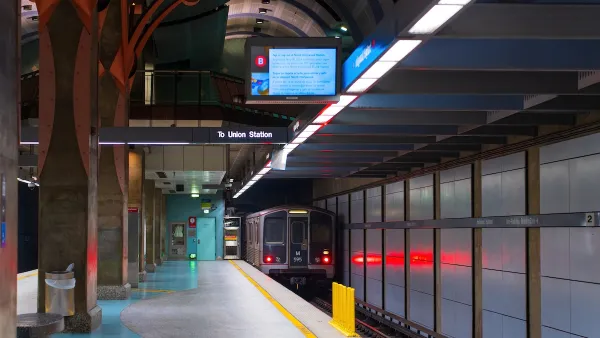
LA Transit Ridership Plummets Amidst ICE Raids
LA Metro’s bus and rail lines are seeing up to 15 percent lower ridership in the wake of violent immigration arrests.

Southern Californians Survey Trees for Destructive Oak Pest
Hundreds of volunteers across five counties participated in the first Goldspotted Oak Borer Blitz, surveying oak trees for signs of the invasive beetle and contributing valuable data to help protect Southern California’s native woodlands.
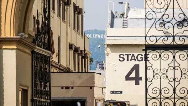
Demise of Entertainment Industry Mirrors Demise of Housing in LA
Making movies has a lot in common with developing real estate: producers = developers; screenwriters = architects; directors = general contractors. The similarities are more than trivial. Both industries are now hurting in L.A.

Planetizen Federal Action Tracker
A weekly monitor of how Trump’s orders and actions are impacting planners and planning in America.

Map: Where Senate Republicans Want to Sell Your Public Lands
For public land advocates, the Senate Republicans’ proposal to sell millions of acres of public land in the West is “the biggest fight of their careers.”

Restaurant Patios Were a Pandemic Win — Why Were They so Hard to Keep?
Social distancing requirements and changes in travel patterns prompted cities to pilot new uses for street and sidewalk space. Then it got complicated.

Platform Pilsner: Vancouver Transit Agency Releases... a Beer?
TransLink will receive a portion of every sale of the four-pack.

Toronto Weighs Cheaper Transit, Parking Hikes for Major Events
Special event rates would take effect during large festivals, sports games and concerts to ‘discourage driving, manage congestion and free up space for transit.”

Berlin to Consider Car-Free Zone Larger Than Manhattan
The area bound by the 22-mile Ringbahn would still allow 12 uses of a private automobile per year per person, and several other exemptions.
Urban Design for Planners 1: Software Tools
This six-course series explores essential urban design concepts using open source software and equips planners with the tools they need to participate fully in the urban design process.
Planning for Universal Design
Learn the tools for implementing Universal Design in planning regulations.
Heyer Gruel & Associates PA
JM Goldson LLC
Custer County Colorado
City of Camden Redevelopment Agency
City of Astoria
Transportation Research & Education Center (TREC) at Portland State University
Camden Redevelopment Agency
City of Claremont
Municipality of Princeton (NJ)