Streets in southeastern Los Angeles County have a severe lack of protected bike lanes and traffic safety measures, leading to high numbers of fatalities in a community where many residents depend on walking and biking for daily needs.


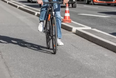
It’s no secret that Los Angeles lacks a comprehensive network of protected bike lanes. According to an article by Amanda Del Cid Lugo in LA Public Press, the crisis is even more urgent in southeast Los Angeles County, where people who commute by bike or on foot often face dangerous road conditions on a daily basis.
“According to data from the University of California Berkeley’s Transportation Injury Mapping System, in the 10-year span from 2013 and 2023, 553 people were hit by cars in the city of Huntington Park alone, with the majority of accidents happening along Slauson Avenue, Gage Avenue, Pacific Boulevard, and Florence Avenue,” Del Cid Lugo explains.
A Berkeley study found that the leading cause of collisions in Huntington Park was drivers failing to yield to pedestrians and people on bikes and that a lack of traffic safety infrastructure and lighting poses a barrier to walking and biking.
FULL STORY: Where are Southeast LA’s bike lanes?

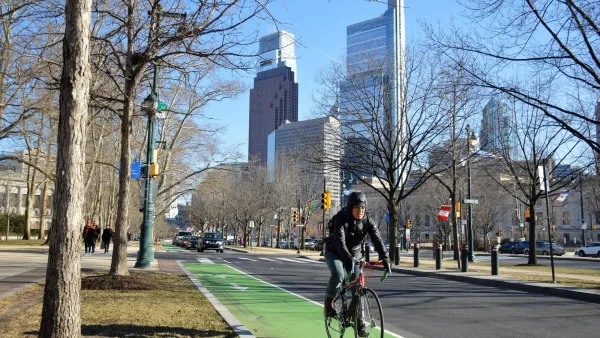
Philly Road Safety Advocates Call for Action From the City
Mayor Parker’s administration is proposing massive cuts to the city’s Vision Zero program while pedestrian and cyclist deaths remain high.
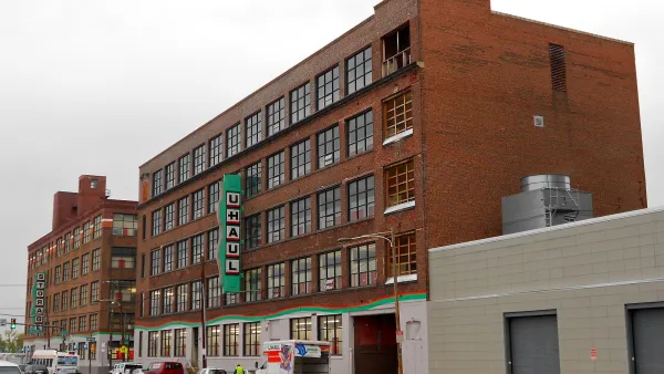
Why a Complete Streets Makeover Went Awry in Philadelphia
The city pulled the plug on a proposed street redesign after community groups criticized the public engagement process for not listening to all local voices.
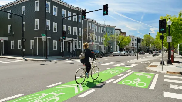
NACTO Releases Updated Urban Bikeway Guide
The third edition of the nationally recognized road design guide includes detailed design advice for roads that prioritize safety and accessibility for all users.

The state-sanctioned urbicide of Austin
People don’t kill cities. Freeways do.

US to reduce Colorado River water deliveries to Mexico
A new Colorado Treaty amendment reduces Mexico’s Colorado River water allocation by 250,000 acre feet.

New Jersey’s second-largest city bans standalone data centers
Jersey City will continue to allow co-location facilities, such as those meant for research institutions that store their own data.

Amtrak not solely to blame for New Jersey commuter rail's unreliability, report finds
A new study from the Garden State Initiative found that NJ Transit’s budget grew 20% across a 4 year period, but reliability declined significantly over the same period.

EPA erases limits on planet-warming pollution from power plants
Under Monday’s plan, power plants would still have some limits on how much mercury, arsenic and other contaminants they can emit.

Phoenix announces new on-demand transit service, more frequent RAPID buses
Both new services will launch in October, and are part of Phoenix's Project Effective Access Solutions for Easing Congestion.

FREE Course: Walkable City 1: Why Walkability?
After describing his path towards focusing on walkability as the essence of good planning, Jeff Speck marches through his five principal reasons for making more walkable places.
Reinventing Malls: Planning Alchemy—Turning Gray Fields Into Gold
The course focuses on the opportunities and imperatives that shape reinvention of mall sites.

Eagle County Government
Harvard University Graduate School of Design
Nashville Planning Department
The Architects Foundation
University of Cincinnati Online
The Pocatello Development Authority
The Urban Renewal Agency of the City of Pocatello
Journal of the American Planning Association