


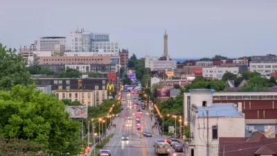
An ambitious proposal to build protected bike lanes and install traffic calming measures on two dangerous Brooklyn avenues has been nixed by the agency, which plans to develop a new proposal in the coming months.

After spending all of 2021 developing a safety plan for two dangerous Brooklyn avenues, the New York Department of Transportation is starting from scratch.
The announcement came after two young girls were injured by a reckless driver last Monday. As Dave Colon reports for Streetsblog NYC, “It’s unclear if the girls would have avoided injury under the one-way conversion, but the redesigned street would have been narrower and featured curb extensions, perhaps slowing down the driver or creating more visibility.” The original plan would have converted the two street segments to one-way and installed parking-protected bike lanes.
Prior to this incident, there were 54 other reported crashes on Seventh Avenue this year, injuring six cyclists, six pedestrians, and 11 drivers. The agency plans to bring a new proposal before officials and community members in the coming months. According to Colon, “the DOT’s Sunset Park proposal was an ambitious proposal to tame a pair of avenues with multiple traffic calming measures,” but “was doomed after vocal opposition from Assembly Member Peter Abbate, who originally demanded that any street redesign focus on making it easier for motor vehicle drivers.”
FULL STORY: Days After Two Girls Were Critically Injured, DOT Hits Reset on its Sunset Park Safety Fix

Milwaukee Launches Vision Zero Plan
Seven years after the city signed its Complete Streets Policy, the city is doubling down on its efforts to eliminate traffic deaths.
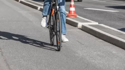
Southeast LA Road Safety Advocates Call for Improved Infrastructure
Streets in southeastern Los Angeles County have a severe lack of protected bike lanes and traffic safety measures, leading to high numbers of fatalities in a community where many residents depend on walking and biking for daily needs.
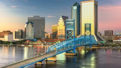
Jacksonville Takes Action on Vision Zero
The city is implementing its first-ever Vision Zero Action Plan in an effort to reduce pedestrian and cyclist deaths and serious injuries.

Maui's Vacation Rental Debate Turns Ugly
Verbal attacks, misinformation campaigns and fistfights plague a high-stakes debate to convert thousands of vacation rentals into long-term housing.

Planetizen Federal Action Tracker
A weekly monitor of how Trump’s orders and actions are impacting planners and planning in America.

In Urban Planning, AI Prompting Could be the New Design Thinking
Creativity has long been key to great urban design. What if we see AI as our new creative partner?

California Creates Housing-Focused Agency
Previously, the state’s housing and homelessness programs fell under a grabbag department that also regulates the alcohol industry, car mechanics, and horse racing.

Chicago’s Ghost Rails
Just beneath the surface of the modern city lie the remnants of its expansive early 20th-century streetcar system.

Baker Creek Pavilion: Blending Nature and Architecture in Knoxville
Knoxville’s urban wilderness planning initiative unveils the "Baker Creek Pavilion" to increase the city's access to green spaces.
Urban Design for Planners 1: Software Tools
This six-course series explores essential urban design concepts using open source software and equips planners with the tools they need to participate fully in the urban design process.
Planning for Universal Design
Learn the tools for implementing Universal Design in planning regulations.
planning NEXT
Appalachian Highlands Housing Partners
Mpact (founded as Rail~Volution)
City of Camden Redevelopment Agency
City of Astoria
City of Portland
City of Laramie