


An analysis of Lime bikeshare data from Boston suburbs is providing useful information about travel behavior and trends.
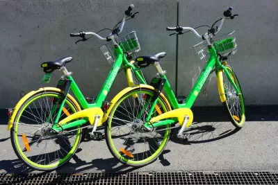
"The Metropolitan Area Planning Council facilitated contracts between multiple Boston suburbs and Lime, a bike-sharing company, and received anonymized data on 300,000 trips as part of an agreement with the company," reports Andy Metzger. MAPC released a research brief with analysis of the 18 months of data about dockless bikeshare in the metropolitan Boston area.
"According to the data, about 18 percent of miles traveled by Lime bikers were on stretches classified as 'very high stress' – roadways where the lane configurations and traffic make them especially risky for bike-car crashes," writes Metzger. The findings also indicate that about 44 percent of Lime trips are happening on multiuse paths, and riders’ destinations include a mix of urban centers, residential areas, and transit stops.
The agency says its analysis of Lime travel data will help guide future planning efforts and development of safe infrastructure and strategies to encourage non-auto travel. "Asserting that similar data-sharing arrangements should be standard for all new mobility forms – including scooters, autonomous vehicles, and drones – MAPC plans to keep crunching the numbers," adds Metzger.
FULL STORY: Lime riders traverse dangerous roadways

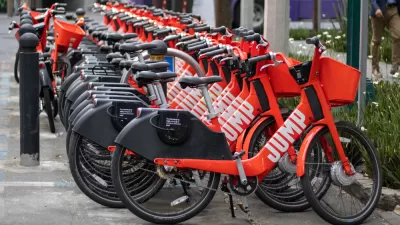
The Fall of JUMP Bikes
An exposé of the dramatic rise and fall of JUMP bikes under the ownership of Uber, in partnership with cities all over the United States.

Boston's Bikeshare System Gets a New Partner, Rebranding
Blue Cross will pay $18 million for a six-year sponsorship of the Boston-area bikeshare system formerly known as Hubway.

Multiple Studies Find Ride-Hailing Contributes to Congestion and Transit Losses
Surveys on ride-hailing conducted by regional planning agencies, academic institutions, and public transit agencies throughout the U.S. reviewed by the Associated Press largely led to the same conclusion: more traffic and reduced use of transit.

Planetizen Federal Action Tracker
A weekly monitor of how Trump’s orders and actions are impacting planners and planning in America.

San Francisco's School District Spent $105M To Build Affordable Housing for Teachers — And That's Just the Beginning
SFUSD joins a growing list of school districts using their land holdings to address housing affordability challenges faced by their own employees.

The Tiny, Adorable $7,000 Car Turning Japan Onto EVs
The single seat Mibot charges from a regular plug as quickly as an iPad, and is about half the price of an average EV.

Seattle's Plan for Adopting Driverless Cars
Equity, safety, accessibility and affordability are front of mind as the city prepares for robotaxis and other autonomous vehicles.

As Trump Phases Out FEMA, Is It Time to Flee the Floodplains?
With less federal funding available for disaster relief efforts, the need to relocate at-risk communities is more urgent than ever.

With Protected Lanes, 460% More People Commute by Bike
For those needing more ammo, more data proving what we already knew is here.
Urban Design for Planners 1: Software Tools
This six-course series explores essential urban design concepts using open source software and equips planners with the tools they need to participate fully in the urban design process.
Planning for Universal Design
Learn the tools for implementing Universal Design in planning regulations.
Smith Gee Studio
City of Charlotte
City of Camden Redevelopment Agency
City of Astoria
Transportation Research & Education Center (TREC) at Portland State University
US High Speed Rail Association
City of Camden Redevelopment Agency
Municipality of Princeton (NJ)