


A call for cities like New York to accurately map, model, and share information on underground water and utility infrastructure for public benefit.
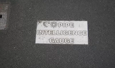
Alan Leidner writes about the need to daylight information about the underground infrastructure that makes New York City work—not the subways, "the tangle of gas, electric, water and steam lines on which the city depends."
Leidner, president of the Geospatial Information Systems and Mapping Organization and former director of Citywide GIS at the New York City Department of Information Technology and Telecommunications, is an expert on the subject.
Unfortunately, there is no combined data set showing location and condition of all utility infrastructure. Lack of awareness drives up the cost of capital infrastructure projects. (In the case of Super Storm Sandy in 2012, for instance, New York City could have reduced its $19 billion repair bill if only it had better data capture, sharing and analysis.) Lack of awareness prolongs emergency recovery. And, in the worst cases, it proves fatal when volatile components trigger catastrophe such as a water main break causing a gas main explosion.
Leidner's argument is that the technology exists to link geographic information system (GIS) data to building information modeling (BIM) to create a sophisticated and powerful map of the city's underground systems. That information can then be used for "risk analysis of storms, floods, earthquakes or other disasters," and to "help detect single points of failure, triggers for cascading events, vulnerabilities and interdependencies."
Leidner points to the city of Auckland, in Australia, as an example of a connected model of underground infrastructure, along with Flanders, London, Helsinki, Zurich, Melbourne, Singapore, and Hong Kong.
Moreover, according to Leidner: "The Open Geospatial Consortium (OGC), the data standards organization of the GIS community, has been working over the past three years to develop a data model that allows information from all utilities to be combined and analyzed."
FULL STORY: City's underground infrastructure needs to be mapped and shared


Using Machine Learning to Optimize Utility Management
Discover how machine learning optimizes city utility management for enhanced efficiency and reduced operational costs.
Building Resiliency in Rural Power Grids
A National Science Foundation study seeks to understand the impact of climate change and extreme weather on rural electrical grids in diverse geographic areas.

Utilities Spending Less on Energy Efficiency Despite Higher Fuel Prices
A survey of major utilities reveals a link between states with strict efficiency standards and incentive programs and efforts to improve efficiency on the part of utilities.

Planetizen Federal Action Tracker
A weekly monitor of how Trump’s orders and actions are impacting planners and planning in America.

Map: Where Senate Republicans Want to Sell Your Public Lands
For public land advocates, the Senate Republicans’ proposal to sell millions of acres of public land in the West is “the biggest fight of their careers.”

Restaurant Patios Were a Pandemic Win — Why Were They so Hard to Keep?
Social distancing requirements and changes in travel patterns prompted cities to pilot new uses for street and sidewalk space. Then it got complicated.

Platform Pilsner: Vancouver Transit Agency Releases... a Beer?
TransLink will receive a portion of every sale of the four-pack.

Toronto Weighs Cheaper Transit, Parking Hikes for Major Events
Special event rates would take effect during large festivals, sports games and concerts to ‘discourage driving, manage congestion and free up space for transit.”

Berlin to Consider Car-Free Zone Larger Than Manhattan
The area bound by the 22-mile Ringbahn would still allow 12 uses of a private automobile per year per person, and several other exemptions.
Urban Design for Planners 1: Software Tools
This six-course series explores essential urban design concepts using open source software and equips planners with the tools they need to participate fully in the urban design process.
Planning for Universal Design
Learn the tools for implementing Universal Design in planning regulations.
Heyer Gruel & Associates PA
JM Goldson LLC
Custer County Colorado
City of Camden Redevelopment Agency
City of Astoria
Transportation Research & Education Center (TREC) at Portland State University
Camden Redevelopment Agency
City of Claremont
Municipality of Princeton (NJ)