How people get to work, and the geographic distinctions between trends in those choices, reveals some of the country's more ominous traits, including the trend Richard Florida calls "the new urban crisis."


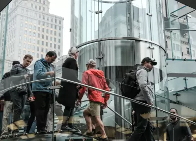
Richard Florida digs deeper into data recently released by the American Community Survey to make the case that how people move around cities is a key feature of the country's "deepening economic and political fissures."
The post includes maps that reveal where Americans get to work by car, public transit, biking, walking, and carpooling. Florida also digs into factors of mode choice like size and density of location, educational attainment, economic class, weather, and more.
As for what it all means, Florida says the country's political cleavages follow the same lines as the mode choices commuter make around the country. And then theirs is the deepening economic and social inequality Florida has dubbed the "new urban crisis":
Our commuting patterns are associated with key dimensions of what I dub the new urban crisis. Housing is less affordable, inequality greater, and economic segregation higher in places where commuters are less dependent on the car. Median housing costs are positively and significantly associated with transit (0.59), biking (0.48), carpooling (0.49), and walking (0.38) to work, and so are income inequality and economic segregation. These associations again reflect the fact that denser, more affluent, educated metros are more expensive, more unequal, and more segregated.
Read the full story: The Great Divide in How Americans Commute to Work

New Commute Data: Telecommuting on the Rise
The news from the most recent American Community Survey data isn't entirely bad for advocates hoping that Americans will switch to more efficient, less impactful forms of commuting.
Travel Trends: Are They Changing?
Recently released travel data show Americans returning to their cars as the economic recovery deepens. Alternative forms of transportation are not attracting new users.
Slowly But Surely, Commutes Are Changing
Finding the answers to the questions posed by the latest transportation data from the American Community Survey will determine the best use of limited resources for infrastructure investment and planning.

Planetizen Federal Action Tracker
A weekly monitor of how Trump’s orders and actions are impacting planners and planning in America.

California plans to bury El Niño’s downpour
If the state plays its cards right, it may be able to store a billion acre-feet of El Niño’s water in aquifers.

Chicago breaks ground on $3 billion megadevelopment
The new neighborhood, titled Foundry Park, will one day host 3,700 residences.

Satanic place names
From streams and lakes to valleys and canyons, I mapped more than 1,000 places named after the Devil.

California High-Speed Rail Authority CEO resigns after $600,000 scandal
Under Ian Choudri, the authority used taxpayer dollars to fund first class flights and trips to nightclubs.

Want to study the Missouri River? Soon, you may need unanimous approval from 10 states
Legislation would require 10 governors’ permission to study or build projects moving water outside the basin.

FREE Course: Walkable City 1: Why Walkability?
After describing his path towards focusing on walkability as the essence of good planning, Jeff Speck marches through his five principal reasons for making more walkable places.
Reinventing Malls: Planning Alchemy—Turning Gray Fields Into Gold
The course focuses on the opportunities and imperatives that shape reinvention of mall sites.

City of Rosemead
Rutgers University, Edward J. Bloustein School of Planning and Public Policy
One Hundred Miles
Hunter College, City University of New York (CUNY)
The Architects Foundation
University of Cincinnati Online
City of Cambridge
Montrose County
The Pocatello Development Authority