The notion of fully capping I-5 as it runs through central Seattle has been gaining steam. The city could stand to gain hundreds of acres of urban land.


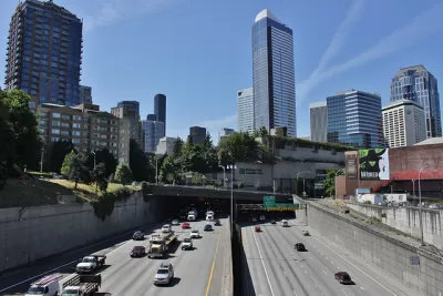
An ambitious idea is gaining traction in Seattle, following in the footsteps of the city's waterfront remake. With the Lid I-5 campaign in the lead, advocates are exploring what it would take to fully lid I-5. "During construction in the early to mid 1960s," Knute Berger writes, "it had destroyed some 6,000 homes, slashed through the International District as it cut a concrete canyon through the heart of the city."
But times have changed. Recently, "a city grant has helped come up with concepts for how the new 'land' of a lid — a concrete cover to I-5 strong enough to hold buildings, parks, roads and people — could be used."
I-5 is already partially lidded in several places, like Freeway Park and the Washington State Convention Center. "As part of the package to expand the Washington State Convention Center, $1.5 million has been allocated to the city for an upcoming study of the feasibility of lidding which will be undertaken in 2019."
The project is bound to be expensive, complex, and will likely take many years to complete. But given downtown land prices, Berger writes, much of the cost "could well pencil out." In the meantime, the idea has sparked lively discussion about what might be done with all that new land, and a more cohesive downtown.
See also: A Closer Look at the Ambitious Plans to Cap I-5 in Downtown Seattle
Read the full story: How capping I-5 could redeem Seattle’s past

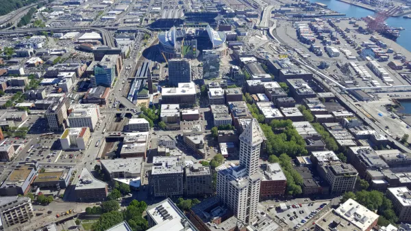
Seattle Releases RFP for Lid I-5 Study
The plan to top I-5 in Seattle with a cap park—what writer Natalie Bicknell calls "the most ambitious effort in our region"—is moving ahead with a $1.5 million feasibility study.
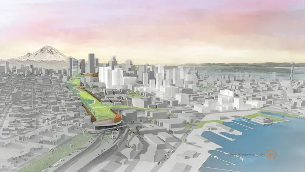
I-5 Freeway Lid Plans Take Step Forward
A plan to build a cap over Interstate 5 in Downtown Seattle has taken a small but significant step forward.
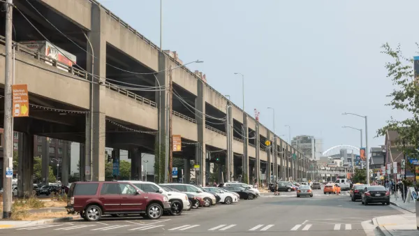
New Marketing Campaign: Pushing People to Drive More in Seattle
Now that Seattle has proven they don't need the new Highway 99 tunnel that will replace the Alaskan Way Viaduct, will enough people use it in the future to cover the costs of construction, operation, and maintenance?

Planetizen Federal Action Tracker
A weekly monitor of how Trump’s orders and actions are impacting planners and planning in America.

California plans to bury El Niño’s downpour
If the state plays its cards right, it may be able to store a billion acre-feet of El Niño’s water in aquifers.

Chicago breaks ground on $3 billion megadevelopment
The new neighborhood, titled Foundry Park, will one day host 3,700 residences.

Satanic place names
From streams and lakes to valleys and canyons, I mapped more than 1,000 places named after the Devil.

California High-Speed Rail Authority CEO resigns after $600,000 scandal
Under Ian Choudri, the authority used taxpayer dollars to fund first class flights and trips to nightclubs.

Want to study the Missouri River? Soon, you may need unanimous approval from 10 states
Legislation would require 10 governors’ permission to study or build projects moving water outside the basin.

FREE Course: Walkable City 1: Why Walkability?
After describing his path towards focusing on walkability as the essence of good planning, Jeff Speck marches through his five principal reasons for making more walkable places.
Reinventing Malls: Planning Alchemy—Turning Gray Fields Into Gold
The course focuses on the opportunities and imperatives that shape reinvention of mall sites.

City of Rosemead
Rutgers University, Edward J. Bloustein School of Planning and Public Policy
One Hundred Miles
Hunter College, City University of New York (CUNY)
The Architects Foundation
University of Cincinnati Online
City of Cambridge
Montrose County
The Pocatello Development Authority