


The plan identifies a High Injury Network and strategies for improving road safety on Oklahoma City streets.

Oklahoma City is considering its first-ever Vision Zero action plan to reduce traffic deaths, reports Brett Fieldcamp in the Oklahoma City Free Press.
The plan identifies dangerous streets and recommends enforcement and infrastructure improvements. According to Fieldcamp, “Following an extended public comment period and an initial presentation to the OKC Planning Commission, officials have been tooling and tightening the plan in anticipation of a Planning Commission vote on January 23rd, one step closer to the massive set of safety guidelines and considerations becoming official City policy.”
The plan highlights the city’s High Injury Network, the seven road segments that pose the most risk to pedestrians. Recommendations for various improvements are scored based on how well they are likely to perform, with medians, median barriers, and pedestrian islands as the highest-scoring projects.
During its public comment period, the city received a large number of comments about speeding and other traffic violations, prompting discussions about traffic enforcement and the potential of using new mechanisms such as red light cameras to enforce traffic regulations and discourage dangerous behavior.
FULL STORY: Public shapes Vision Zero plan to reduce traffic fatalities

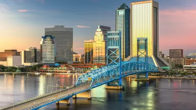
Jacksonville Takes Action on Vision Zero
The city is implementing its first-ever Vision Zero Action Plan in an effort to reduce pedestrian and cyclist deaths and serious injuries.
Portland Traffic Deaths Surpass 2022 Number
This year, 69 people have died in traffic crashes in Portland, Oregon, nearly twice as many as in 2018, when the city began its Vision Zero program.

Pittsburgh Agencies Collaborate on Vision Zero Projects
The city reduced pedestrian deaths to seven in 2023.

Planetizen Federal Action Tracker
A weekly monitor of how Trump’s orders and actions are impacting planners and planning in America.

Maui's Vacation Rental Debate Turns Ugly
Verbal attacks, misinformation campaigns and fistfights plague a high-stakes debate to convert thousands of vacation rentals into long-term housing.

San Francisco Suspends Traffic Calming Amidst Record Deaths
Citing “a challenging fiscal landscape,” the city will cease the program on the heels of 42 traffic deaths, including 24 pedestrians.

Defunct Pittsburgh Power Plant to Become Residential Tower
A decommissioned steam heat plant will be redeveloped into almost 100 affordable housing units.

Trump Prompts Restructuring of Transportation Research Board in “Unprecedented Overreach”
The TRB has eliminated more than half of its committees including those focused on climate, equity, and cities.

Amtrak Rolls Out New Orleans to Alabama “Mardi Gras” Train
The new service will operate morning and evening departures between Mobile and New Orleans.
Urban Design for Planners 1: Software Tools
This six-course series explores essential urban design concepts using open source software and equips planners with the tools they need to participate fully in the urban design process.
Planning for Universal Design
Learn the tools for implementing Universal Design in planning regulations.
Heyer Gruel & Associates PA
JM Goldson LLC
Custer County Colorado
City of Camden Redevelopment Agency
City of Astoria
Transportation Research & Education Center (TREC) at Portland State University
Jefferson Parish Government
Camden Redevelopment Agency
City of Claremont