


The bipartisan infrastructure law, which directs massive investments to state transportation projects, could fast-track some of the most destructive highway expansion projects.
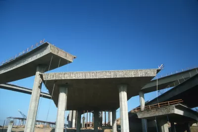
In part one of an annual series from the Public Interest Research Group titled “Highway Boondoggles,” James Horrox, Bryn Huxley-Reicher and Matthew Casale of Streetsblog describe how the federal infrastructure bill passed last November could accelerate some of the worst, most wasteful highway expansion projects.
“The federal dollars made available through the infrastructure deal could be spent on fixing our aging roads, making our streets safer, and making it easier to travel on transit, by bike or on foot, giving Americans real, viable options for getting around without having to drive,” the article notes. However, “across the country, state and local governments continue to move forward with tens of billions of dollars’ worth of new and expanded highways that do little to address today’s real transportation challenges, while diverting funding from much-needed infrastructure repairs.” The authors list the many harms of highway expansion, including increased congestion over time, wasted resources, harmful emissions, and displacement of communities.
Although the Biden administration has expressed its “preferences” toward maintenance and multimodal projects, decisionmaking ultimately rests with state agencies. The authors include a list of suggestions for policymakers, such as investing in reducing automobile dependence and reorienting transportation funding to maintenance and repair.
In future installments, the authors will describe the seven highway projects that made the cut as this year’s Highway Boondoggles. You can also read the full report here.
FULL STORY: How the Bipartisan Infrastructure Law Could Fast-Track Harmful Highway Boondoggles

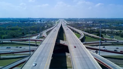
The Nation’s Most Wasteful Highway Projects
The 2023 Highway Boondoggles report is here.

The Unceremonious Death of a Freeway Expansion Project
The end of an Oregon freeway project didn't get much fanfare, but the victory is worth celebrating.
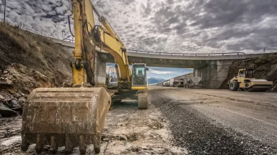
Federal Infrastructure Dollars Funding Road Expansions
Far from kickstarting a transformative change in transportation policy, the 2021 bipartisan infrastructure law continues to fund traditional road-building projects.

Planetizen Federal Action Tracker
A weekly monitor of how Trump’s orders and actions are impacting planners and planning in America.

Map: Where Senate Republicans Want to Sell Your Public Lands
For public land advocates, the Senate Republicans’ proposal to sell millions of acres of public land in the West is “the biggest fight of their careers.”

Restaurant Patios Were a Pandemic Win — Why Were They so Hard to Keep?
Social distancing requirements and changes in travel patterns prompted cities to pilot new uses for street and sidewalk space. Then it got complicated.

Platform Pilsner: Vancouver Transit Agency Releases... a Beer?
TransLink will receive a portion of every sale of the four-pack.

Toronto Weighs Cheaper Transit, Parking Hikes for Major Events
Special event rates would take effect during large festivals, sports games and concerts to ‘discourage driving, manage congestion and free up space for transit.”

Berlin to Consider Car-Free Zone Larger Than Manhattan
The area bound by the 22-mile Ringbahn would still allow 12 uses of a private automobile per year per person, and several other exemptions.
Urban Design for Planners 1: Software Tools
This six-course series explores essential urban design concepts using open source software and equips planners with the tools they need to participate fully in the urban design process.
Planning for Universal Design
Learn the tools for implementing Universal Design in planning regulations.
Heyer Gruel & Associates PA
JM Goldson LLC
Custer County Colorado
City of Camden Redevelopment Agency
City of Astoria
Transportation Research & Education Center (TREC) at Portland State University
Camden Redevelopment Agency
City of Claremont
Municipality of Princeton (NJ)