Technology
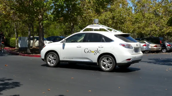
On the Self-Driving Car's Taste in Maps
The navigational software of successful driverless cars will make Google Maps seem like child's play. But can such a system replace or improve upon human instinct and adaptability?
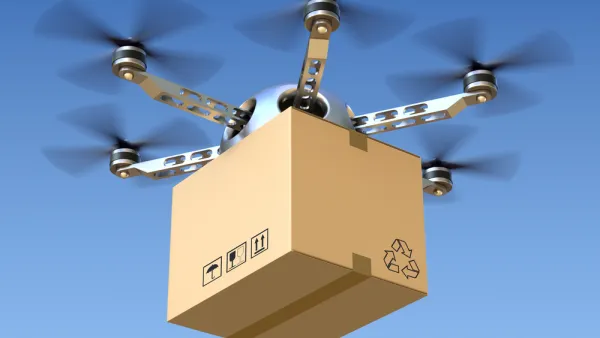
How Drones Can Improve Planning and Design
In February, the Federal Aviation Administration released rules for the commercial operation of drones that were (to many observers) surprisingly business friendly. A landscape architect imagines the potential of drones for planning and design.
GPS Technology Chosen for Oregon's Road Usage Charge
Oregon's much heralded mileage fee program, known as OReGO, has selected the technology to record the miles driven by participants. A French and Canadian company will collaborate to provide a telematics road usage charging framework to begin July 1.
Three Challenges for Multi-Modal Trip Planning Apps
A recent post on Mobility Lab explains some of the challenges developers encounter when creating the multi-modal trip planner apps of our dreams.
San Francisco Resets the Bar with New Online Approvals Database
The online documentation of the San Francisco Planning Department's approval process received a huge upgrade.
A History of 'Urban Dashboards' and their Impact on City Governance
Welcome to the age of "Dashboard Governance"—when a good user interface offers the potential for performance advantages to city management.
Do Driverless Car Safety Features Merit Fuel Efficiency Credit?
Manufacturers say yes, arguing that the reduction in vehicle crashes decreases traffic congestion. Other features improve traffic flow. But these are safety technologies, not emission-reducing measures, that critics worry will water-down CAFE.
Did Augustus Really Transform Rome into a 'City of Marble'?
Caeser Augustus famously boasted "I found Rome a city of bricks and left it a city of marble." An architectural historian and urban designer at UCLA now has the model to prove the veracity of the claim.
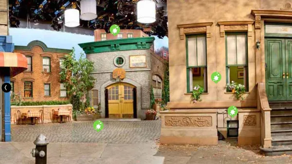
Nextdoor—the 'Facebook for Neighborhoods—Catching on with Investors and Users
As social media platforms evolve into specific niches, the Nextdoor platform is quickly expanding its online version of neighborhood-level interaction.
California Turns Toward the Sea for Drought Relief
The Wall Street Journal examines desalination efforts on the Central and South Coasts, starting with the reactivation of a Santa Barbara plant. Notwithstanding criticisms on costs and environmental damage, eight plants have been built since 2006.
Visualizing the Spread of the OpenStreetMap Project
OpenStreetMap has released an animated map to illustrate the impressive growth of the project over the first ten years of its existence.
New Mobile App Alerts Drivers to People on Bikes
A free app, still very nascent in its adoption, alerts drivers to the presence of bikers.
Survey Finds Surprising Attitudes toward Increasing Gas Tax
If there's a solid take-away from the California Field Poll, it is not to ask residents how they feel about raising gas taxes, or any one option for that matter. Rather, offer a menu of funding alternatives and the results become more meaningful.
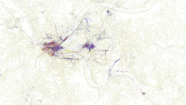
Friday Eye Candy: Maps Reveal Differences in How Locals and Tourists See the City
The cities that visitors see will always be different than the city that locals see. A new mapping project reveals the distinctions between the local perspective and the tourist perspective for 136 cities around the globe.
Metrolink Crash Would Have Been Much Worse If Not for New Rail Cars
While all four passenger cars derailed in Tuesday morning's crash with a pickup truck, three on their sides, experts indicate that the new cars likely prevented far greater damage. Also covered is the locomotive push-pull issue and grade separations.
Coming Soon to Philadelphia's Center City: 3D Digital Advertisements
A Philadelphia City Council committee approved a controversial proposal to allow "Urban Experiential Displays" (i.e., large, 3D digital advertisements) in Center City.
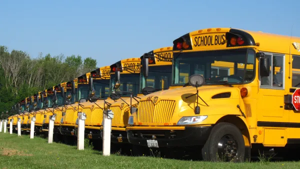
Transportation Start-up Fails for Being Too Public-Minded
Night School, planning to use school bus fleets to supplement late-night Bay Area transit, lost the regulatory fights Uber and Lyft handily won.
Urban Engines App a Navigation Game Changer
A navigation app that aggregates transportation modes and works offline? Do tell.
'Ones to Watch': Young Designers Working to Improve Urban Life
The U.K. based Design Council recently announced the winners of its "Ones to Watch" competition. The winning entries show how young designers (aka, the "future of British design") are working to improve urban life.
Should Car Safety Technology Protect Bikers and Pedestrians Too?
It wouldn't exactly mean cats and dogs living together, but what if technological innovations could make cars safer for pedestrians and bikers?

FREE Course: Walkable City 1: Why Walkability?
After describing his path towards focusing on walkability as the essence of good planning, Jeff Speck marches through his five principal reasons for making more walkable places.
Reinventing Malls: Planning Alchemy—Turning Gray Fields Into Gold
The course focuses on the opportunities and imperatives that shape reinvention of mall sites.

City of Rosemead
Rutgers University, Edward J. Bloustein School of Planning and Public Policy
One Hundred Miles
University of Michigan School for Environment and Sustainability (SEAS)
Hunter College, City University of New York (CUNY)
The Architects Foundation
City of Cambridge
Montrose County
The Pocatello Development Authority