


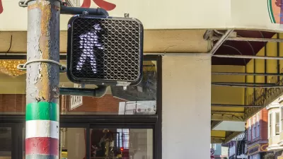
The popularity of Google Maps is well-documented, and as more users are using the software on their phones (remember when you had to print maps before you left your home or office?), Google's recent updates includes a bunch of new mobile features.
"El Goog is rolling out a bunch of improvements to its Maps apps for Android and iOS. Some of them are small improvements, and some of them are friggin' awesome," writes Brent Rose.
"Most significantly, when you're using Maps for turn-by-turn navigation, it will tell you which lane you should stay in (or move to), so you won't be surprised by suddenly having to make a left when you've been cruising in the far-right lane."
But maybe you don’t have a car and/or the idea of navigating the freeway at greater rates of speed sends chills up your spine. There are updates to Google Maps on iOS and Android for you too.
"If you're planning on taking public transportation you can add options like 'Depart at' to chose the time and date you want to leave. And for those of us who stay out late, there's even a 'last train home' feature. Or, if you're planning on searching for alternative ways home, Maps will now integrate data from Uber. You'll be able to compare the ride with transit and walking directions, and if you choose the Uber option, it will jump you right over to the Uber app (assuming you have it installed and it's available in your area)."
FULL STORY: Google Maps Now Tells You What Lane to Get Into and More Goodies


New Google Map Layer Shows COVID-19 Infection Rates
A new layer showing the seven-day average of confirmed COVID-19 cases started rolling out to Android and iPhones last week.
Walking Directions, Assisted by Augmented Reality
Augmented reality could boost safety for pedestrians, or it could add another layer of distraction between people and the real world.
Lyft Partnering With Amtrak for First-Last Mile Connections
Amtrak is partnering with Lyft to offer train passengers a discounted option for first and last mile needs. New Lyft riders qualify for a $5 savings on each of their first four rides.

Planetizen Federal Action Tracker
A weekly monitor of how Trump’s orders and actions are impacting planners and planning in America.

Maui's Vacation Rental Debate Turns Ugly
Verbal attacks, misinformation campaigns and fistfights plague a high-stakes debate to convert thousands of vacation rentals into long-term housing.

San Francisco Suspends Traffic Calming Amidst Record Deaths
Citing “a challenging fiscal landscape,” the city will cease the program on the heels of 42 traffic deaths, including 24 pedestrians.

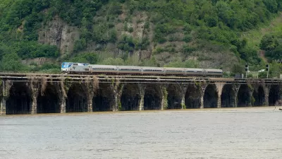
Amtrak Rolls Out New Orleans to Alabama “Mardi Gras” Train
The new service will operate morning and evening departures between Mobile and New Orleans.

The Subversive Car-Free Guide to Trump's Great American Road Trip
Car-free ways to access Chicagoland’s best tourist attractions.

San Antonio and Austin are Fusing Into one Massive Megaregion
The region spanning the two central Texas cities is growing fast, posing challenges for local infrastructure and water supplies.
Urban Design for Planners 1: Software Tools
This six-course series explores essential urban design concepts using open source software and equips planners with the tools they need to participate fully in the urban design process.
Planning for Universal Design
Learn the tools for implementing Universal Design in planning regulations.
Heyer Gruel & Associates PA
JM Goldson LLC
Custer County Colorado
City of Camden Redevelopment Agency
City of Astoria
Transportation Research & Education Center (TREC) at Portland State University
Jefferson Parish Government
Camden Redevelopment Agency
City of Claremont