


Technology
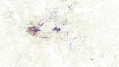
Visualizing the Spread of the OpenStreetMap Project
OpenStreetMap has released an animated map to illustrate the impressive growth of the project over the first ten years of its existence.
New Mobile App Alerts Drivers to People on Bikes
A free app, still very nascent in its adoption, alerts drivers to the presence of bikers.
Survey Finds Surprising Attitudes toward Increasing Gas Tax
If there's a solid take-away from the California Field Poll, it is not to ask residents how they feel about raising gas taxes, or any one option for that matter. Rather, offer a menu of funding alternatives and the results become more meaningful.
Friday Eye Candy: Maps Reveal Differences in How Locals and Tourists See the City
The cities that visitors see will always be different than the city that locals see. A new mapping project reveals the distinctions between the local perspective and the tourist perspective for 136 cities around the globe.
Metrolink Crash Would Have Been Much Worse If Not for New Rail Cars
While all four passenger cars derailed in Tuesday morning's crash with a pickup truck, three on their sides, experts indicate that the new cars likely prevented far greater damage. Also covered is the locomotive push-pull issue and grade separations.
Coming Soon to Philadelphia's Center City: 3D Digital Advertisements
A Philadelphia City Council committee approved a controversial proposal to allow "Urban Experiential Displays" (i.e., large, 3D digital advertisements) in Center City.
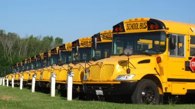
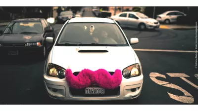
Transportation Start-up Fails for Being Too Public-Minded
Night School, planning to use school bus fleets to supplement late-night Bay Area transit, lost the regulatory fights Uber and Lyft handily won.
Urban Engines App a Navigation Game Changer
A navigation app that aggregates transportation modes and works offline? Do tell.
'Ones to Watch': Young Designers Working to Improve Urban Life
The U.K. based Design Council recently announced the winners of its "Ones to Watch" competition. The winning entries show how young designers (aka, the "future of British design") are working to improve urban life.
Should Car Safety Technology Protect Bikers and Pedestrians Too?
It wouldn't exactly mean cats and dogs living together, but what if technological innovations could make cars safer for pedestrians and bikers?
Ready, Set, Action: Using 'Active Lifestyle Cameras' in Planning
Active Lifestyle Cameras are increasing in popularity—allowing for people to capture the moment on camera while in action. Now planners can use active lifestyle cameras to study all manner of activities, from use of parks to commuting.

Part Two: Should MoMA Tout Tactical Urbanism(s) as a Solution to Uneven Growth?
The second and final post about MoMa's exhibit, "Uneven Growth: Tactical Urbanisms for Expanding Megacities."
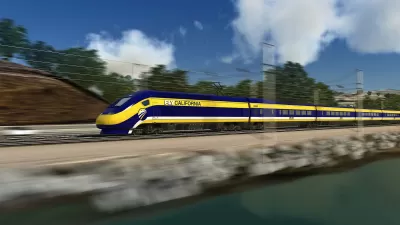
Is California's High Speed Rail the Transcontinental Railroad of its Time?
Journalist Kathleen Sharp, whose great-grandfather worked on the transcontinental railroad, draws comparisons between that epic achievement and the construction of California's high speed rail in this New York Times op-ed.
Measuring Brainwaves to Map the Stress Level of Bike Routes
Anyone who uses a bike to navigate their city knows that every ride has stretches that are much more stressful than others. A new project collects data from brainwaves to map the stress levels of bikers in New York City.
New Index Ranks Cities by their Transportation Apps
In some cities, it can feel like a new era of transportation—with new options like real-time bus arrival data, on-demand cars-for-hire, and more, all available through a smart phone. Which cities are out in front of the new world?
Website Opens Bay Area Transportation Data to the Masses
The Metropolitan Transportation Commission—the Bay Area's regional transportation planning agency—recently did fans of data and mapping a huge favor and launched a website called Vital Signs.

Digital Divide Includes Transportation And Tech
For people who'd rather own a smart phone than a set of wheels, new types of mobile tech are making it increasingly easy to get around cities. A recent report ranks the metro areas that are making best use of these technologies. On top: Austin, TX
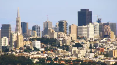
Auto Use Holds Steady in San Francisco
Even as innovations like ridesharing take hold in tech-friendly San Francisco, the percentage of trips taken by personal auto is stuck at just under 50 percent.
Uber's Newest Competitor: Google
Big news on the automated vehicle front yesterday, as Google and Uber now seem destined to become competitors in the battle for the future of transportation.
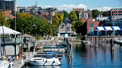
Running on 100 Percent Renewables, Burlington Shows the Way Forward
The city of Burlington, largest in the Green Mountain State, is the only city in the U.S. to provide electricity from entirely renewable sources, notwithstanding criticism from some environmentalists. PBS Newshour Weekend investigates.
Urban Design for Planners 1: Software Tools
This six-course series explores essential urban design concepts using open source software and equips planners with the tools they need to participate fully in the urban design process.
Planning for Universal Design
Learn the tools for implementing Universal Design in planning regulations.
Heyer Gruel & Associates PA
JM Goldson LLC
Custer County Colorado
City of Camden Redevelopment Agency
City of Astoria
Transportation Research & Education Center (TREC) at Portland State University
Camden Redevelopment Agency
City of Claremont
Municipality of Princeton (NJ)


