Sea level rise is already flooding communities with such regularity that many residents are deciding to leave. The sea level rise tipping point will expand its reach as the climate changes.


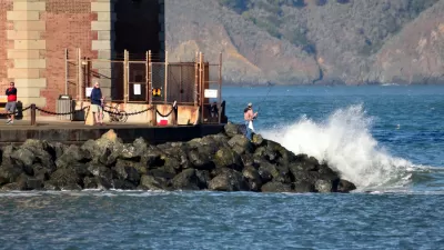
"Coastal neighborhoods in several Bay Area cities are likely to face such frequent flooding from rising sea levels over the next century that residents will simply pack up and leave, according to a new study of the effects of climate change," reports Kurtis Alexander.
Those findings are from a report issued earlier this week by the Union of Concerned Scientists [pdf], which is "the first nationwide effort to identify the point at which coastal communities face the no-win decision of having to flee or fight sea level rise."
The report assumes a "point of no return"—when "at least 10 percent of a community experiences flooding 26 days a year, or one day every two weeks," explains Alexander. "Already, more than 90 communities across the nation have hit a point of disruption that’s driving people away […] Eighty more are expected to reach that threshold within 20 years if global warming continues at a moderate rate."
Planetizen shared resources on the issues of "managed retreat" earlier this year, and documented the experience of the Alaskan village of Shishmaref, which voted last year to relocate entirely.
Read the full story: Scientists expect floods in Bay Area from rising seas in coming decades

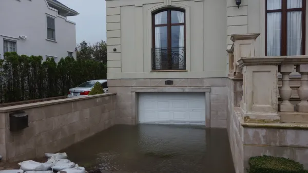
Over 500 NYC ‘Blue Zones’ at Risk of More Destructive Floods
High-risk flood zones cover roughly 20% of the city’s land.
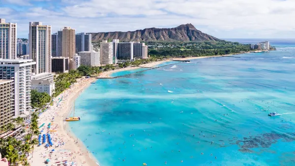
Rising Above: Innovative Solutions for Waikīkī’s Sea-Level Challenges
The University of Hawaiʻi at Mānoa’s award-winning Waikīkī sea-level rise adaptation project combines science, architecture, and community input to create scalable solutions for climate resilience and coastal flood mitigation.
Report: Expect Regular Coastal Floods Within 15 Years
Climate change and rising seas will mean higher flood risks for cities. But when exactly will impactful flooding become a regular occurrence? New analysis by the Union of Concerned Scientists says that time is fast approaching.

Planetizen Federal Action Tracker
A weekly monitor of how Trump’s orders and actions are impacting planners and planning in America.

California plans to bury El Niño’s downpour
If the state plays its cards right, it may be able to store a billion acre-feet of El Niño’s water in aquifers.

Chicago breaks ground on $3 billion megadevelopment
The new neighborhood, titled Foundry Park, will one day host 3,700 residences.

Want to study the Missouri River? Soon, you may need unanimous approval from 10 states
Legislation would require 10 governors’ permission to study or build projects moving water outside the basin.

Desperate measures: Advocates weigh draining Lake Powell to fill Colorado River
Draining the reservoir could reduce evaporation losses by a couple hundred thousand acre-feet.

This road in NYC is infamously dangerous — and Mamdani can't fix it
New York City's Ocean Parkway is known for reckless driving, but the power to implement safety measures lies with the state rather than the city.

FREE Course: Walkable City 1: Why Walkability?
After describing his path towards focusing on walkability as the essence of good planning, Jeff Speck marches through his five principal reasons for making more walkable places.
Reinventing Malls: Planning Alchemy—Turning Gray Fields Into Gold
The course focuses on the opportunities and imperatives that shape reinvention of mall sites.

City of Rosemead
Rutgers University, Edward J. Bloustein School of Planning and Public Policy
One Hundred Miles
Hunter College, City University of New York (CUNY)
The Architects Foundation
University of Cincinnati Online
City of Cambridge
Montrose County
The Pocatello Development Authority