


A new map quantifies the stress levels for bike riders on the streets of Montgomery County, Maryland.
Just north of D.C., transportation planners in Montgomery County, Maryland have created a Bicycle Stress Map, reports Laura Bliss:
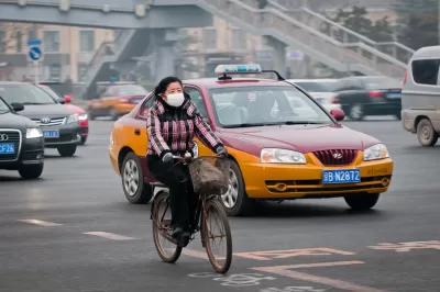
With a new Bicycle Stress Map, county planners have quantified and mapped the “traffic stress level” of the county’s bike network, assigning a numeric value and corresponding color to every street and bike trail.
Peter Furth, from Northeastern University, created the methodology for the stress map, calculating "TSL" values "based on traffic speed and volume, the number and width of car and bike lanes, parking turnover, how easy it is to get through intersections, and other characteristics," explains Bliss.
In addition to providing more detail about the methodology of the stress map, Bliss also analyzes the portrait of the Montgomery County bike network that emerges as a result. Among the most clear takeaways from the map: that the bicycle network is often most stressful around Metro stations and Capital Bikeshare stations.
FULL STORY: Mapping How Stressful Streets Can Limit Cycling

‘Idaho Stop’ Now Legal in Colorado
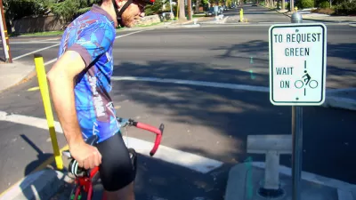
Colorado is the latest state to make it legal for people on bikes to treat stop signs like yield signs when no cars are in the intersection.
Colorado Legislature Approves 'Idaho Stop' Bill
Pending Gov. Polis's signature on a bill approved recently by the Colorado State Legislature, Colorado will become the latest state to allow people on bikes to yield at stop signs.
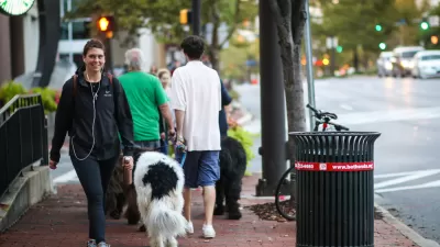
Pedestrian Planning in Response to Worsening Safety Data
Faced with rapidly deteriorating pedestrian safety statistics, Montgomery County in Maryland is getting to work on a new Pedestrian Plan, following closely on the heels of work completed for the county's Bicycle Master Plan.

Planetizen Federal Action Tracker
A weekly monitor of how Trump’s orders and actions are impacting planners and planning in America.

Map: Where Senate Republicans Want to Sell Your Public Lands
For public land advocates, the Senate Republicans’ proposal to sell millions of acres of public land in the West is “the biggest fight of their careers.”

Restaurant Patios Were a Pandemic Win — Why Were They so Hard to Keep?
Social distancing requirements and changes in travel patterns prompted cities to pilot new uses for street and sidewalk space. Then it got complicated.

Platform Pilsner: Vancouver Transit Agency Releases... a Beer?
TransLink will receive a portion of every sale of the four-pack.

Toronto Weighs Cheaper Transit, Parking Hikes for Major Events
Special event rates would take effect during large festivals, sports games and concerts to ‘discourage driving, manage congestion and free up space for transit.”

Berlin to Consider Car-Free Zone Larger Than Manhattan
The area bound by the 22-mile Ringbahn would still allow 12 uses of a private automobile per year per person, and several other exemptions.
Urban Design for Planners 1: Software Tools
This six-course series explores essential urban design concepts using open source software and equips planners with the tools they need to participate fully in the urban design process.
Planning for Universal Design
Learn the tools for implementing Universal Design in planning regulations.
Heyer Gruel & Associates PA
JM Goldson LLC
Custer County Colorado
City of Camden Redevelopment Agency
City of Astoria
Transportation Research & Education Center (TREC) at Portland State University
Camden Redevelopment Agency
City of Claremont
Municipality of Princeton (NJ)